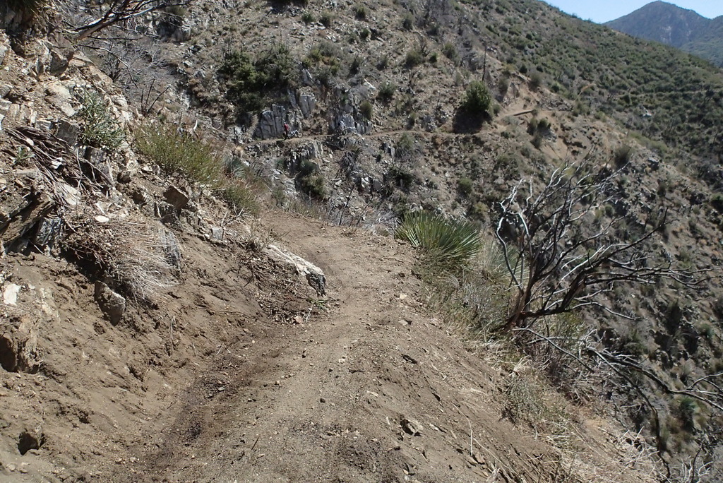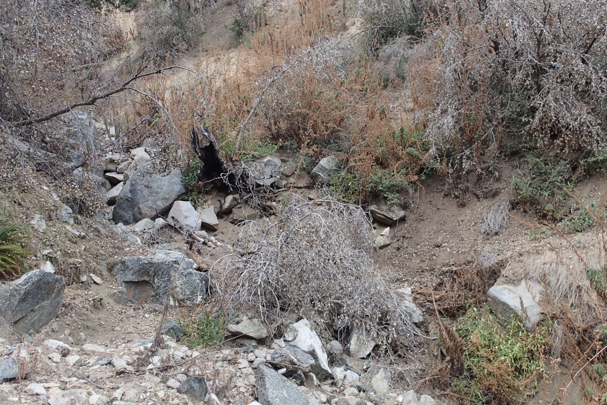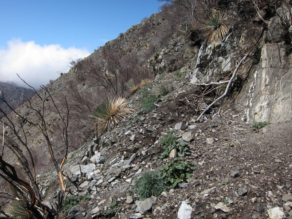
Station fire damage to Strawberry Peak trail
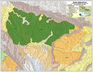
The Station Fire burned over 250 square miles of the Angeles National Forest in 2009. The most recent Station Fire Closure Order went into effect on May 25 last year, and is in effect until May 24, 2014. The Forest Service will not be renewing the general closure order. Instead, some trails that have yet to be restored will remain closed, along with some higher elevation fireroads. This is both for public safety and additional resource protection and recovery.
The following trails will remain closed:
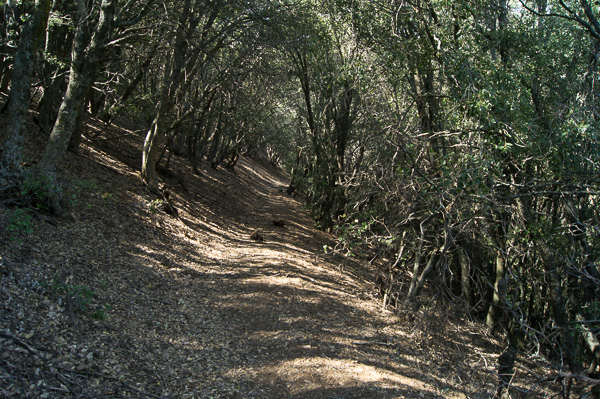
- Strawberry Peak Trail 12W05.1 (From the junction with Colby Canyon trail north to Upper Big Tujunga)
- Lower Gabrielino Trail 11W14 (between Bear Canyon trail junction and Paul Little Campground)
- Ken Burton Trail 12W19 (the complete trail)
- Millard Waterfall trail (a non-system user-created trail)
- Barley Flats Trail
- Santa Clara Divide Road 3N17 (between Alder Saddle westward to the intersection with the BPL road near North Fork Station)
- Axial roads that connect to the closed portion of 3N17 will also remain closed:
- 4N32 (BPL Road) between 3N17 and 4N33
- 4N33 (Moody Truck Trail) between 3N17 and 4N32
- 4N24 (Beartrap Truck Trail/SCE Service Road) between 3N17 and Aliso Canyon Road
- 3N90 (Roundtop) between 3N17 and Roundtop Peak
- 3N32 (Mendenhall Ridge Road) between 3N17 and Indian Ben Saddle
Additionally, the following campgrounds will remain closed:
- Messenger Flats Campground
- Lightning Point Campground
- Big Buck Campground
Note that some media reports have indicated that the Colby trail would be closed, without specifying which segments. Rest assured that the segments of the Colby Canyon trail that comprise the classic “Strawberry Peak Loop” will be opened. The segment of Colby Canyon trail north from Josephine Ridge to Highway 2 is still in very poor condition and not recommended for bicycles, though it will be opened.
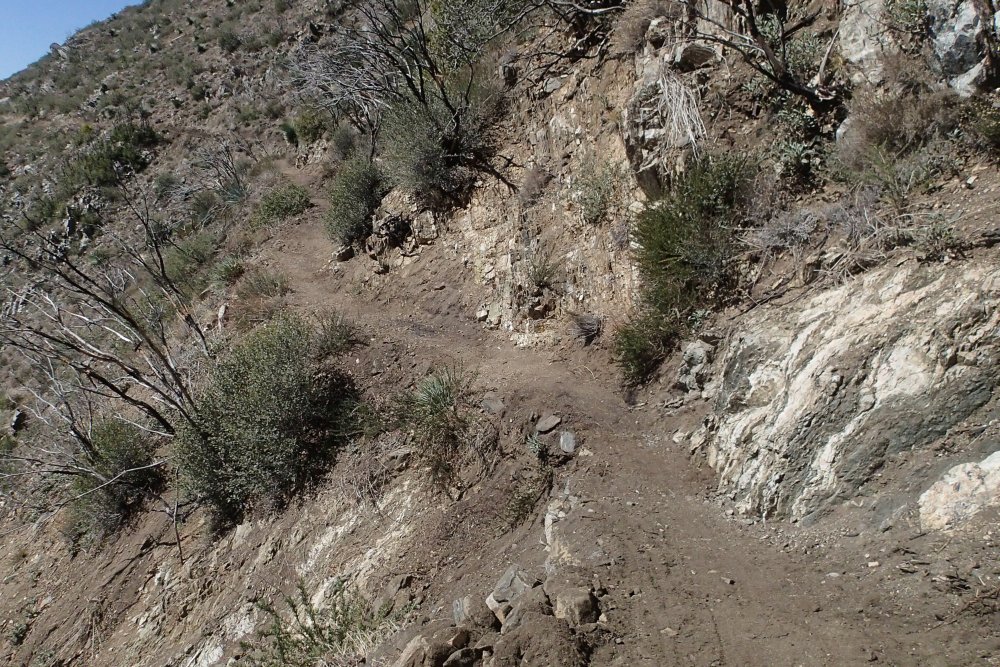
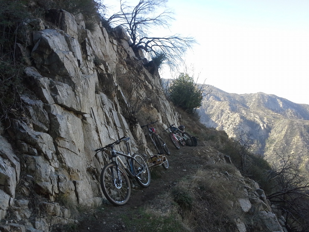
Strawberry Peak after restoration
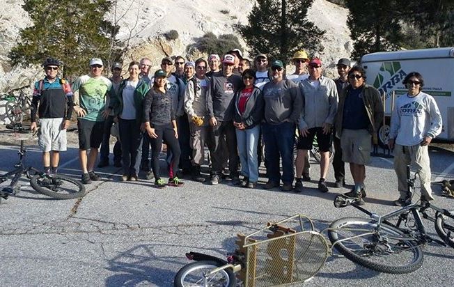
We must acknowledge once again the generous support we received from REI to help fund the professional services of Bellfree Contractors, tools and food for volunteers, that allowed us to complete the restoration of the Strawberry Peak Trail. The restoration effort included a re-route of a particularly troublesome section, which was planned out as a part of the IMBA Trail Care Crew visit in 2012. We coordinated our efforts with The National Forest Foundation, Los Angeles Conservation Corps, and the Sierra Club Angeles Chapter trail crew. And of course, our biggest thanks go to the many volunteers who came out to our trailwork days on Strawberry Peak. We’ll be doing more trailwork there as we continue to maintain the trail in the future.
The Gabrielino Trail will be our next focus, and stay tuned for important news regarding that effort. We must emphasize that the closed segment of the Gabrielino trail is not ready for public use. At least three groups of trail users who ignored the closure have had to be extracted by Search and Rescue. Please stay off the closed trails listed above for your own safety.