Last week four bills affecting California passed the House. H.R.3820, the “San Gabriel Mountains Foothills and Rivers Protection Act”, and H.R.1708, the “Rim of the Valley Corridor Preservation Act,” were rolled into a land protection bill with four other bills including H.R. 2250. the Northwest California Wilderness, Recreation, and Working Forests Act, and the H.R.2199 Central Coast Heritage Protection Act–both of which have earned the support of local mountain biking organizations. Local mountain bike clubs and IMBA have been key players in the development of these bills. The combined bill, H.R. 2546, Protecting America’s Wilderness Act, passed the House on February 12, with 6 house republicans voting in favor.
San Gabriel Mountains, Foothills and Rivers Protection Act
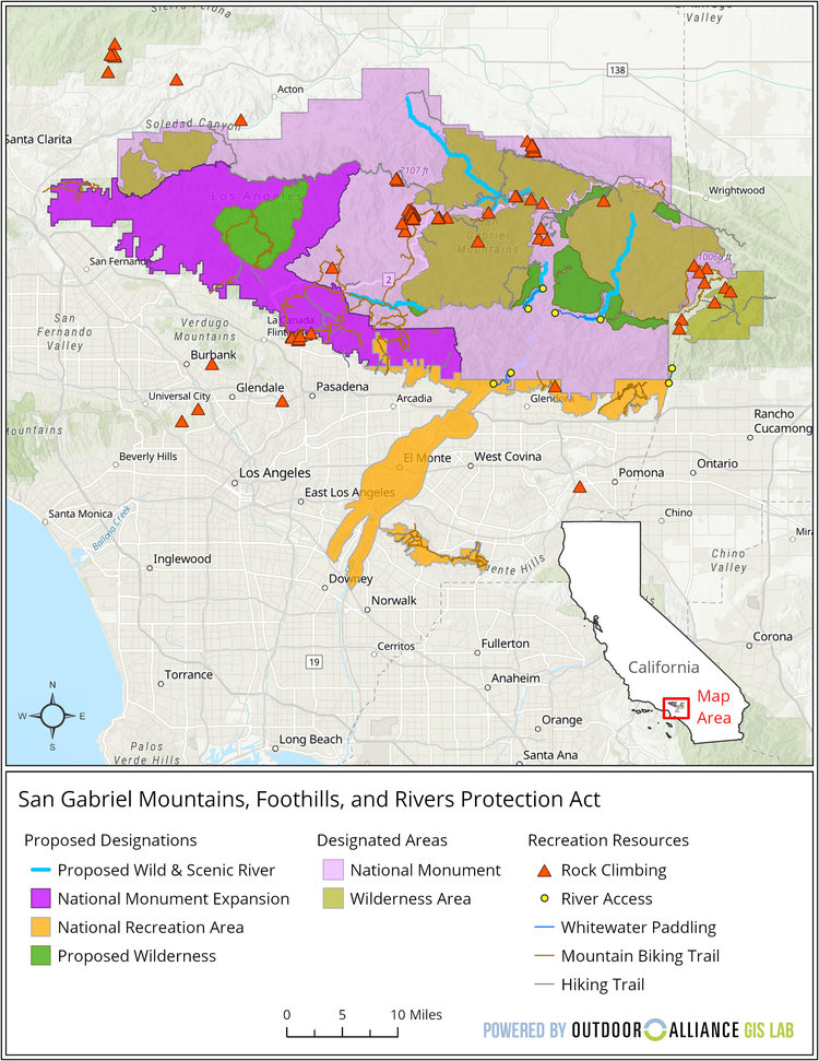
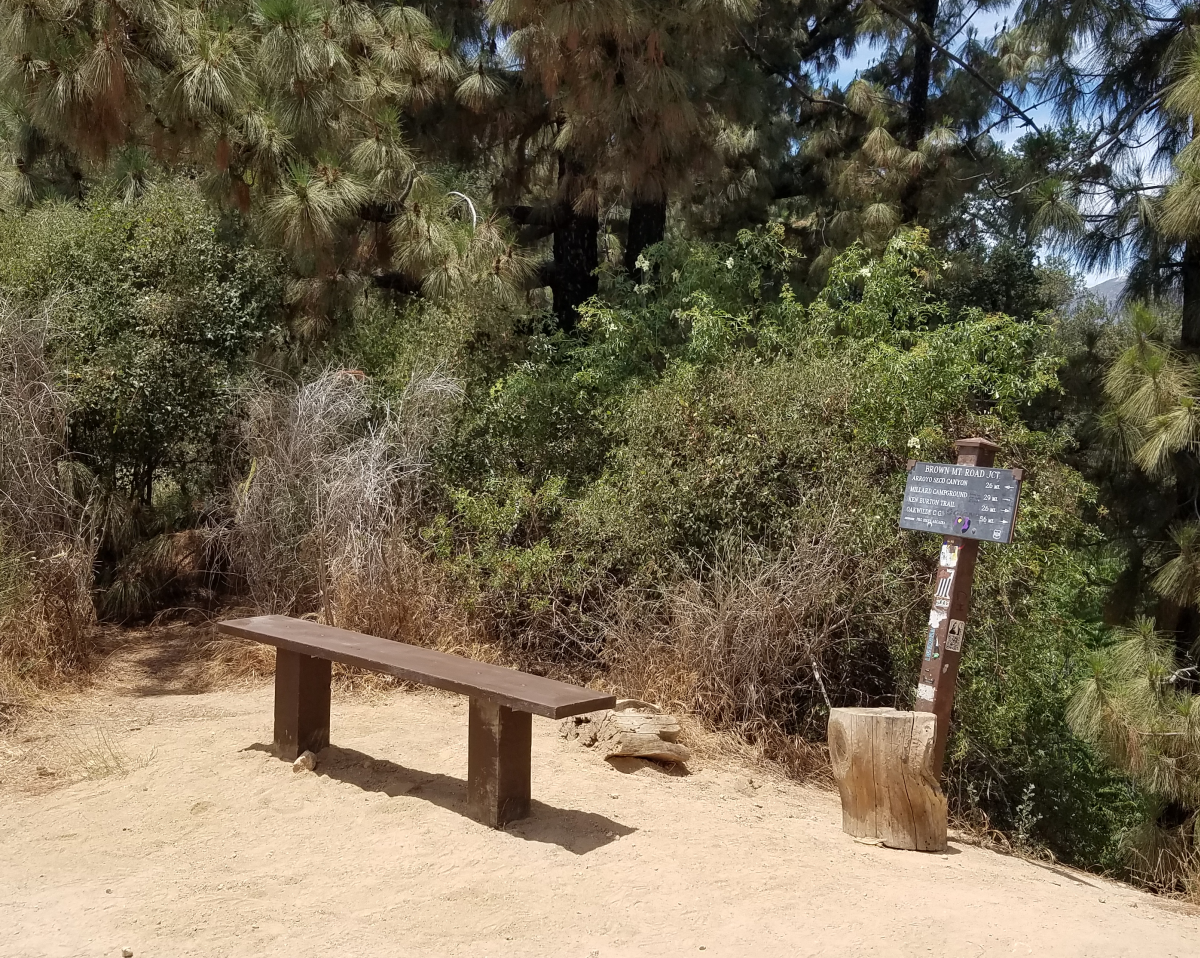
San Gabriel Mountains Foothills and Rivers Protection Act Reference Map
Wilderness Expansion
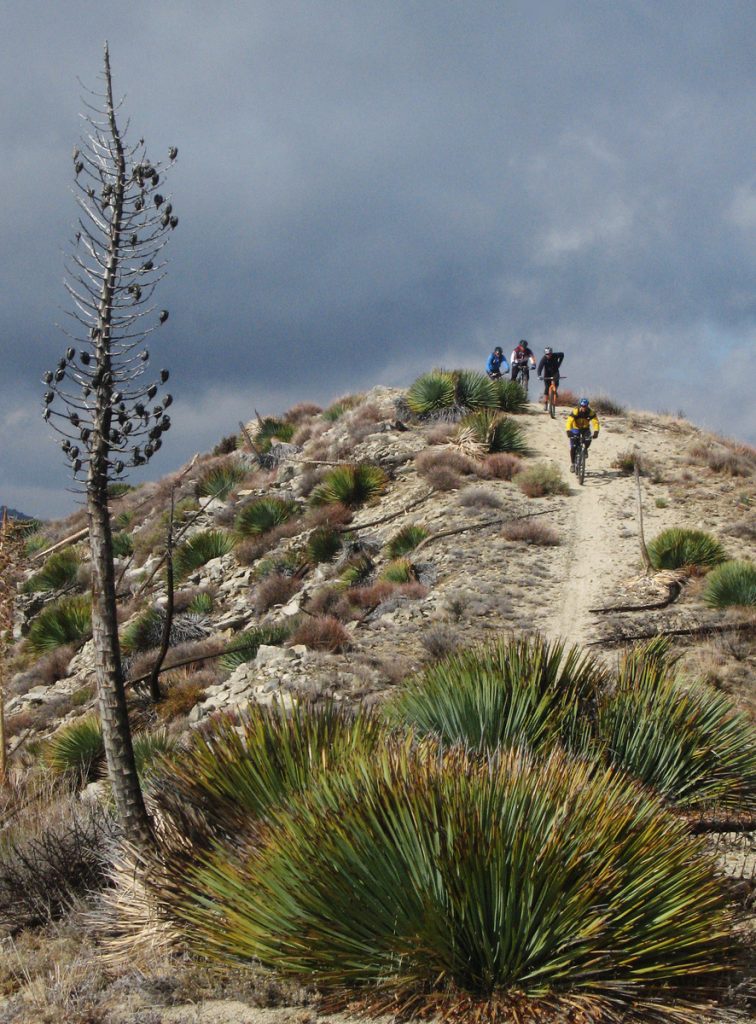
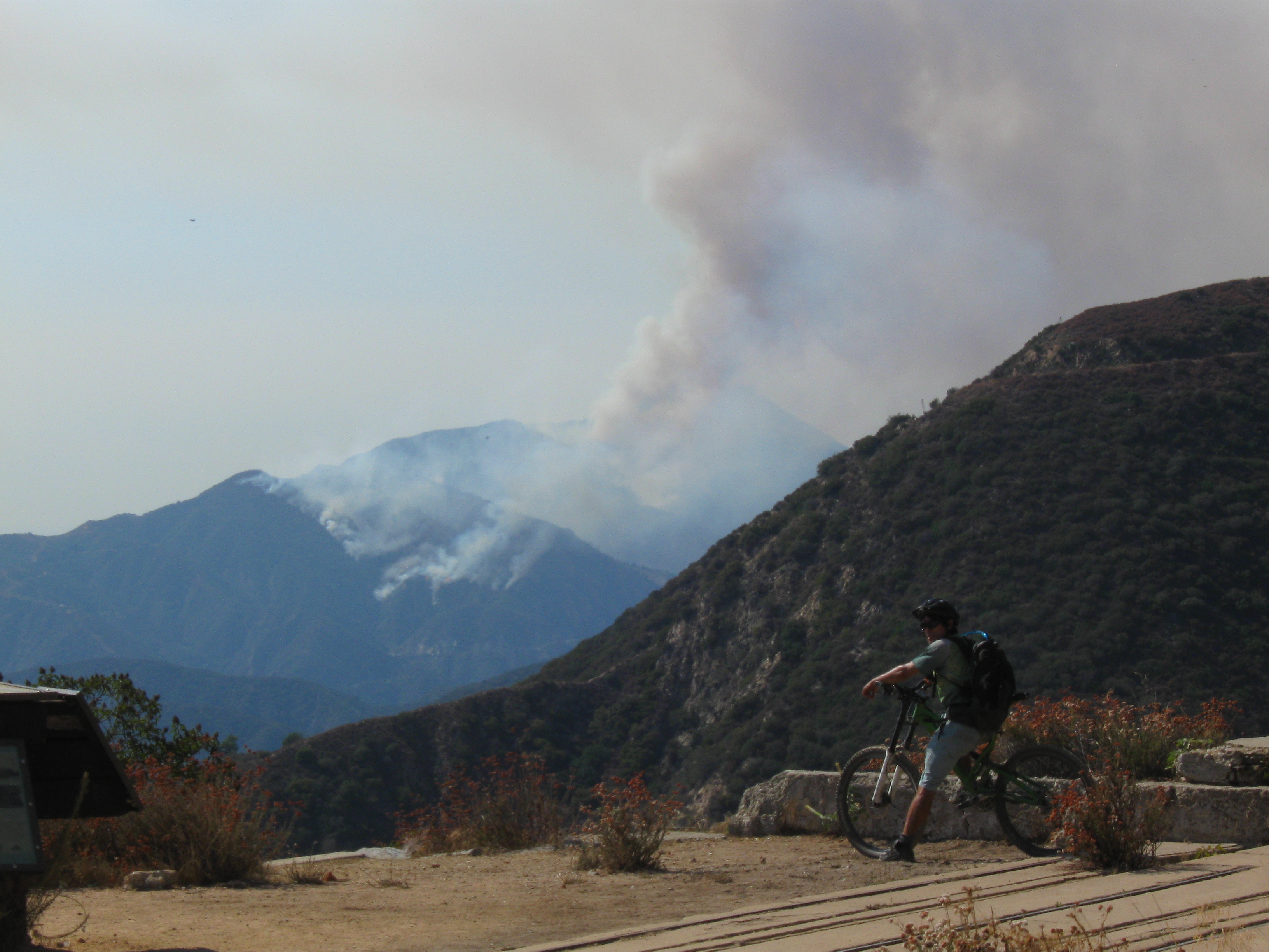
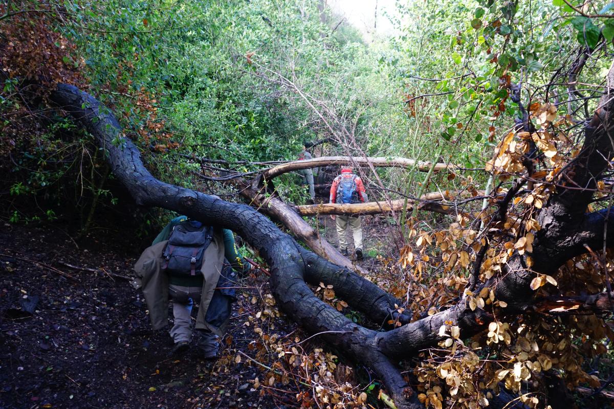
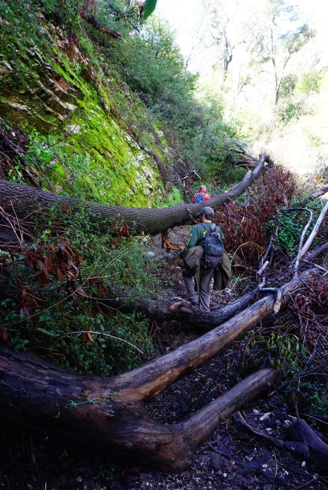
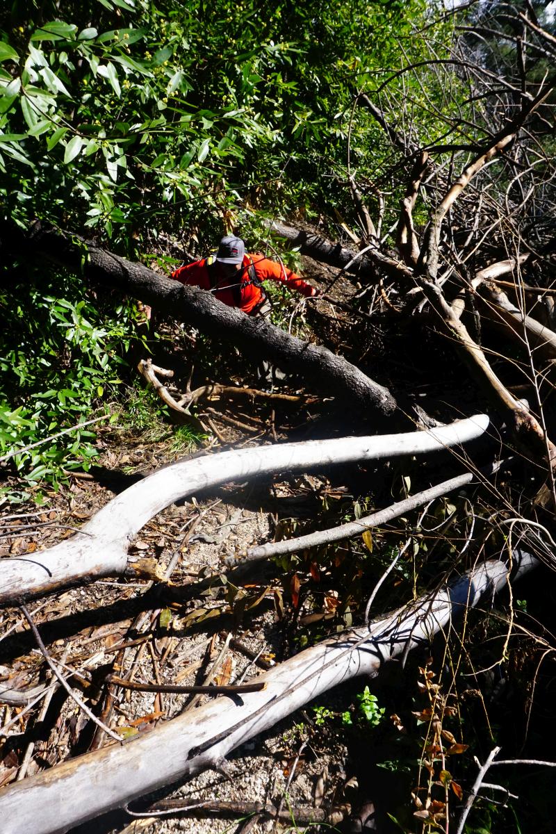
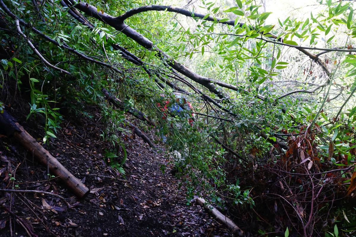
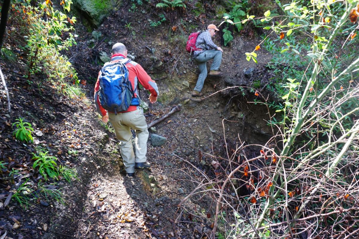
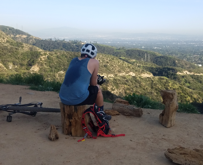
Protest Riders descend from Condor Peak, December 2007
H.R.3820, introduced by Judy Chu (CA-27), expands the boundaries of existing federally-designated wilderness areas within the Angeles National Forest. The bill also creates two new Wilderness areas, the Yerba Buena Wilderness and Condor Peak Wilderness.
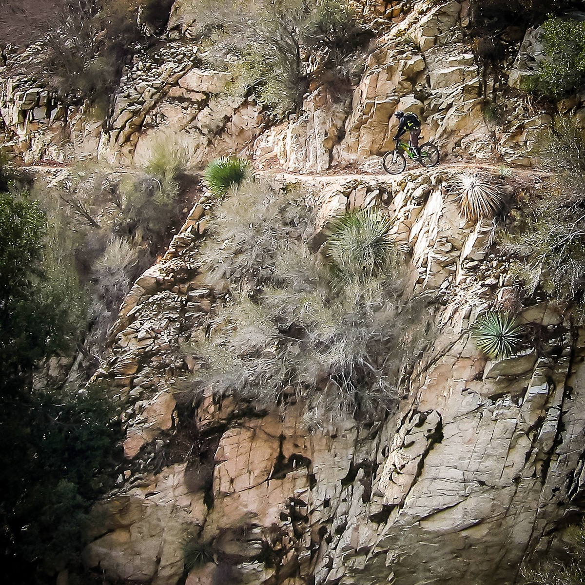
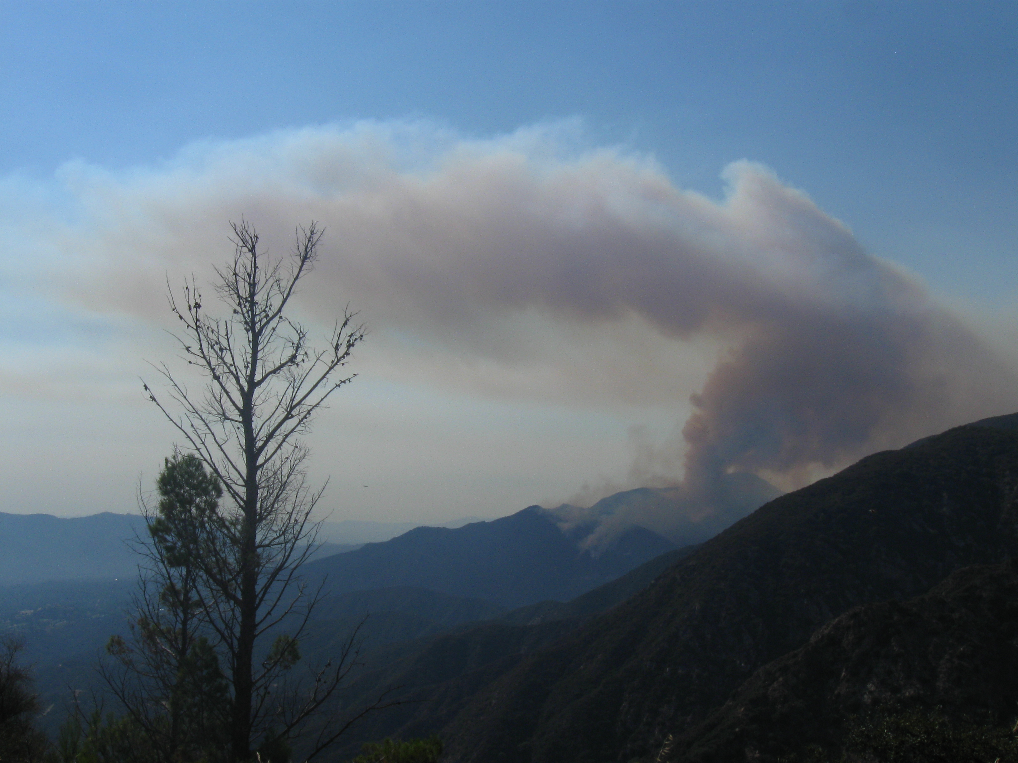
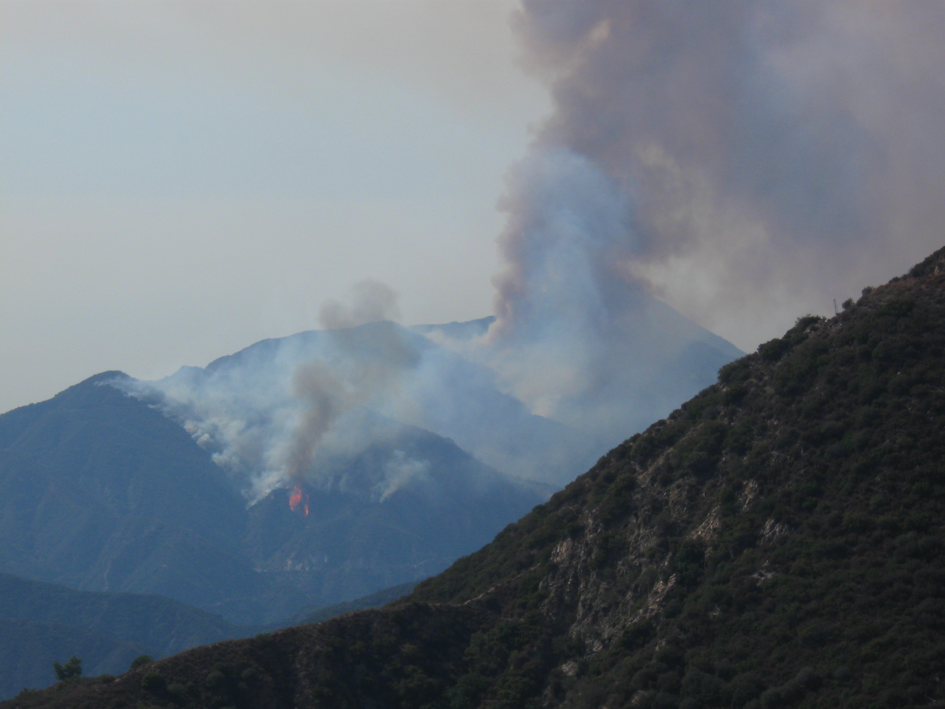
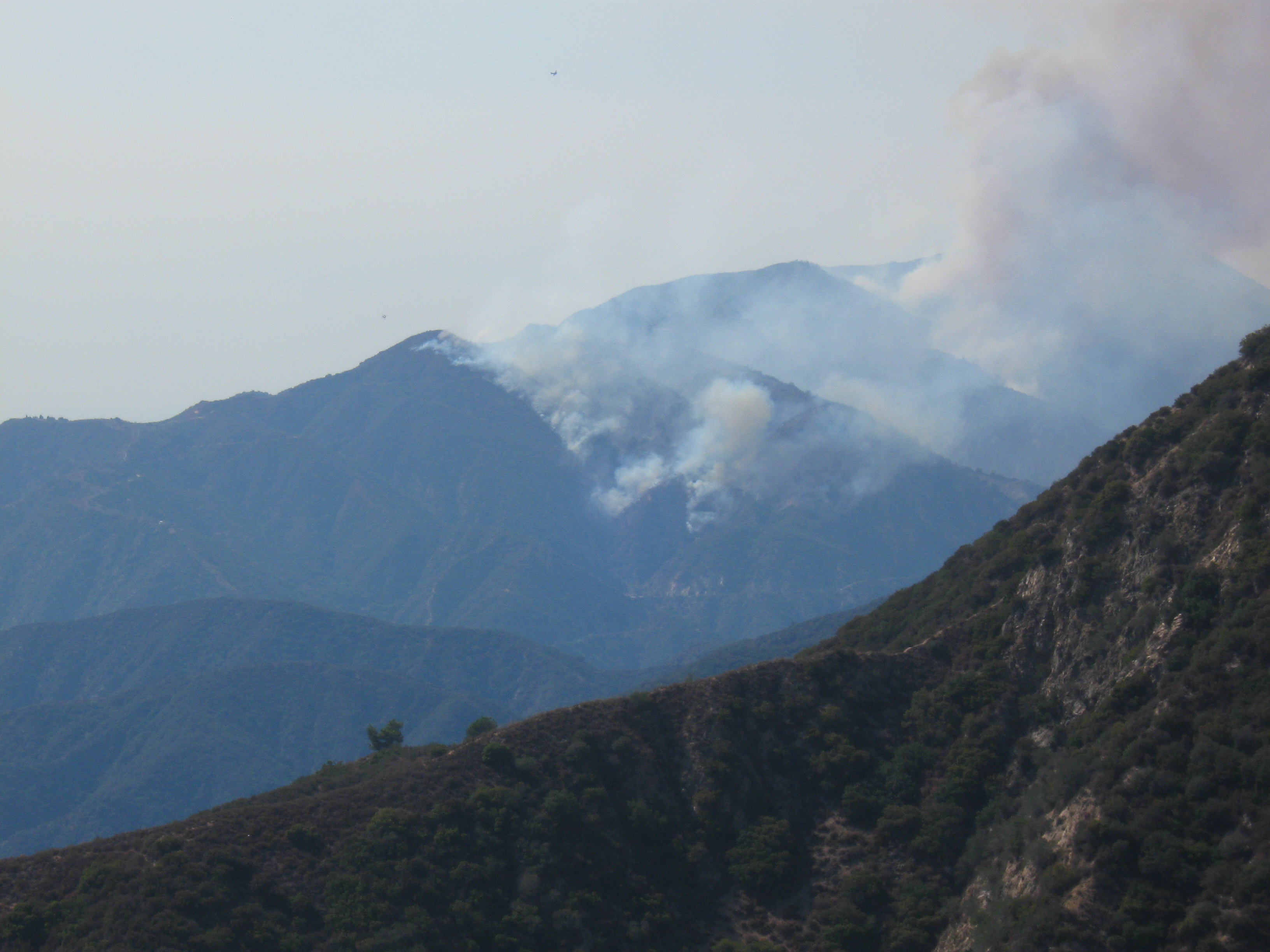
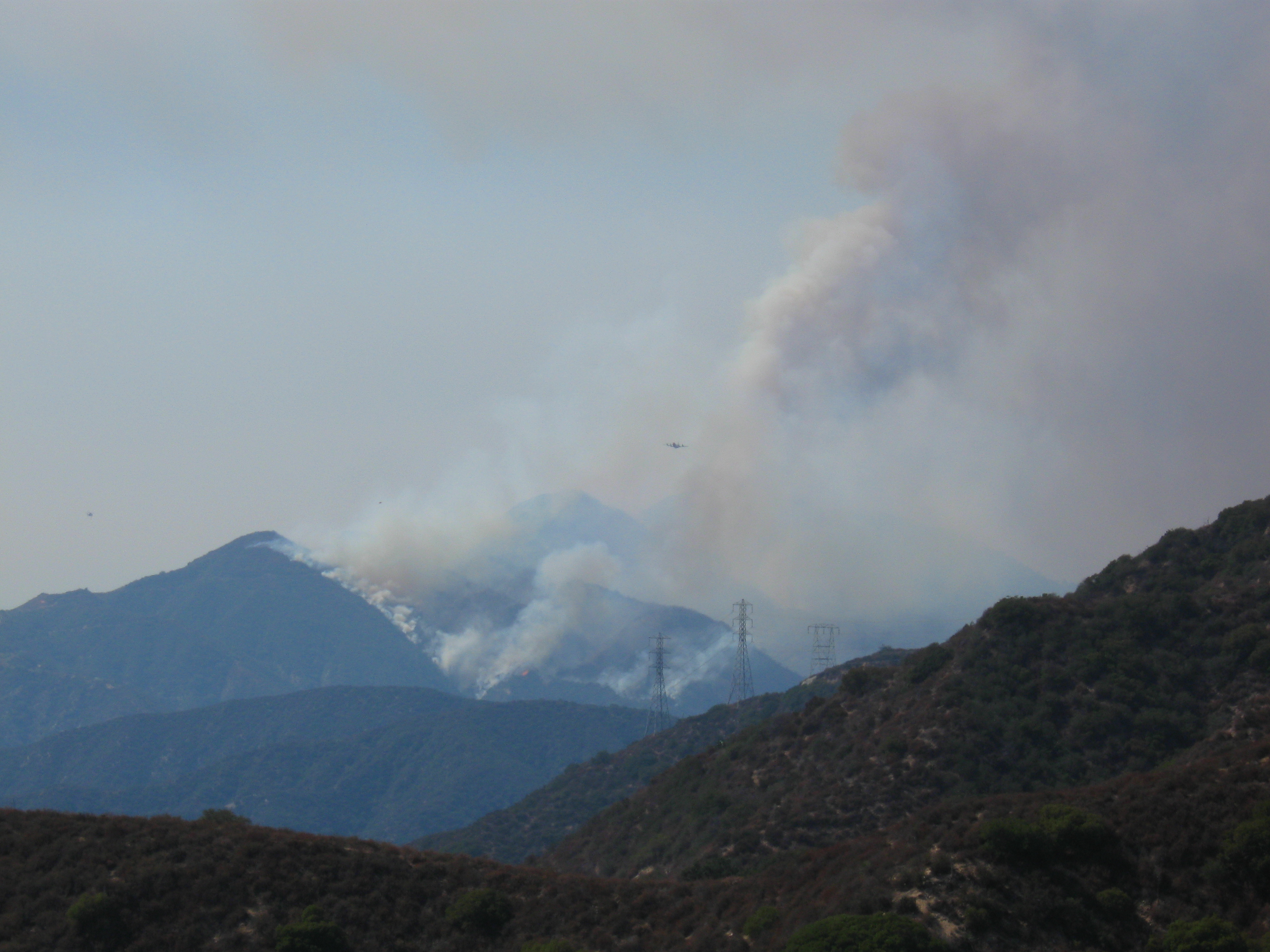
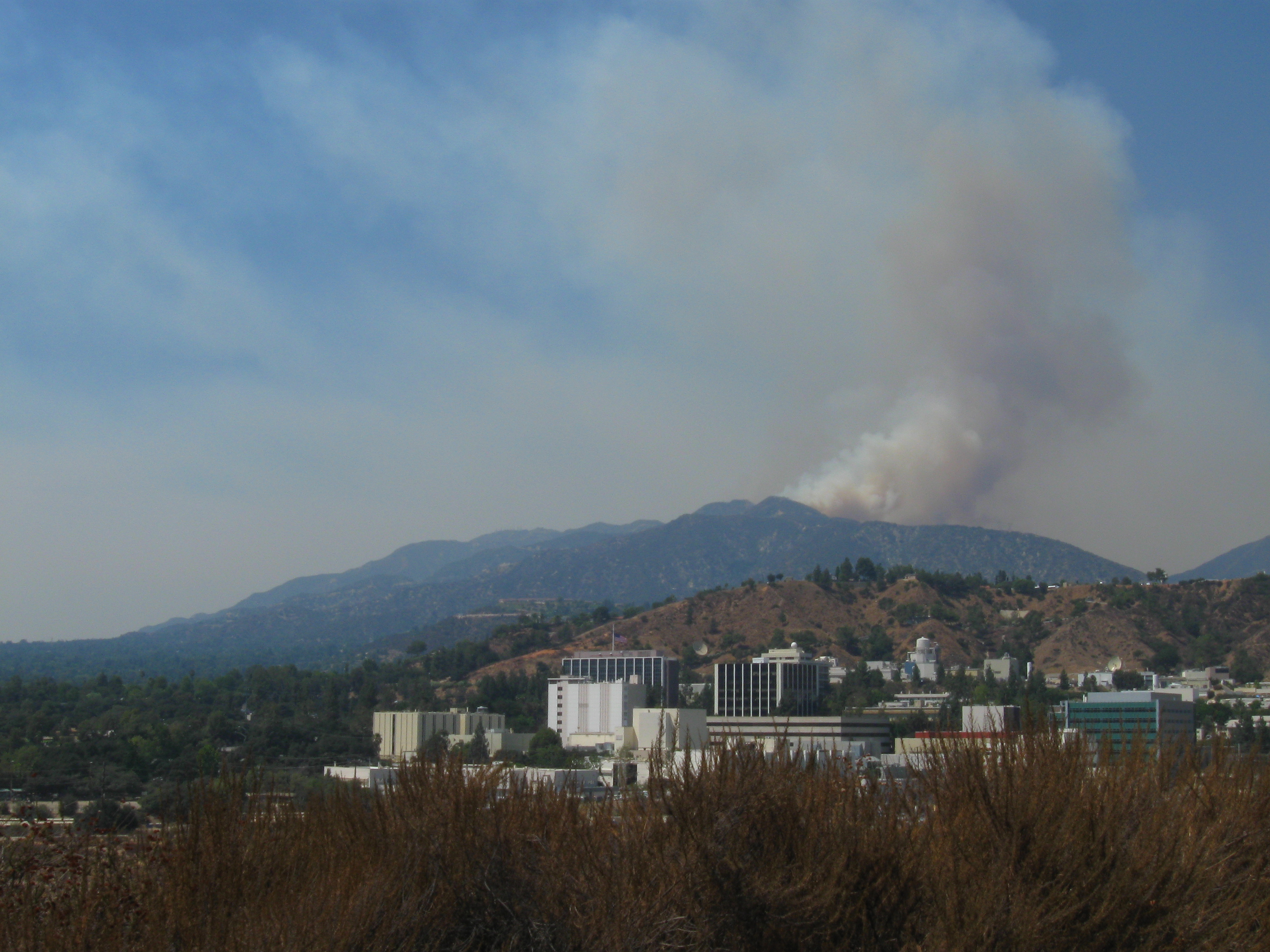
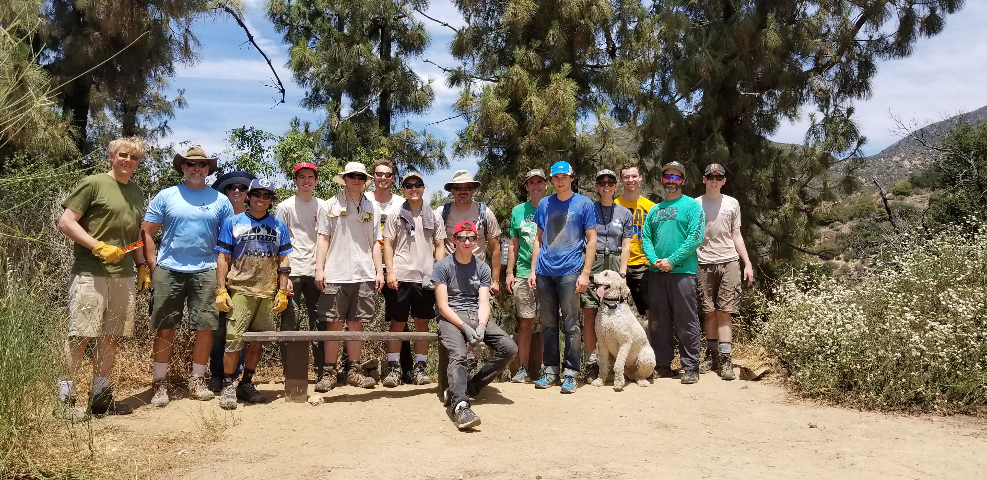
Condor peak has long been a target for wilderness protection by environmental groups. It is also one of the last long-distance, high-elevation singletrack trails providing access to a mountain summit that remains open to bikes. It was included in a bill by Barbara Boxer, as a new wilderness area. Jim Hasenauer, then working with IMBA, led a protest ride on the trail showing that it was a high-value trail to mountain bikers on December 1, 2007. It was withdrawn from the Omnibus Public Land Management Act of 2009, but has never been forgotten by environmentalists.
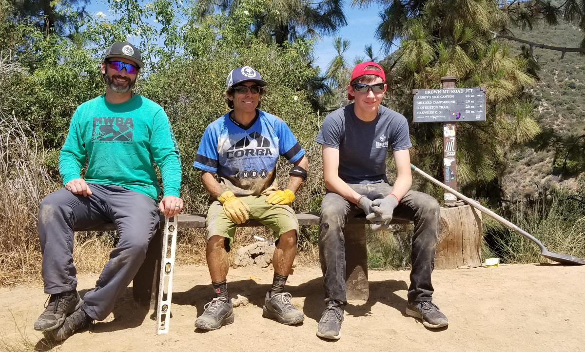
CORBA worked locally with The Wilderness Society, Sierra Club and CalWild on the language and boundaries of the current bill for more than two years. Concurrently, IMBA worked at the national level and in Washington DC, to ensure that the proposed Wilderness areas would have no impact to existing trails open to mountain bikes.
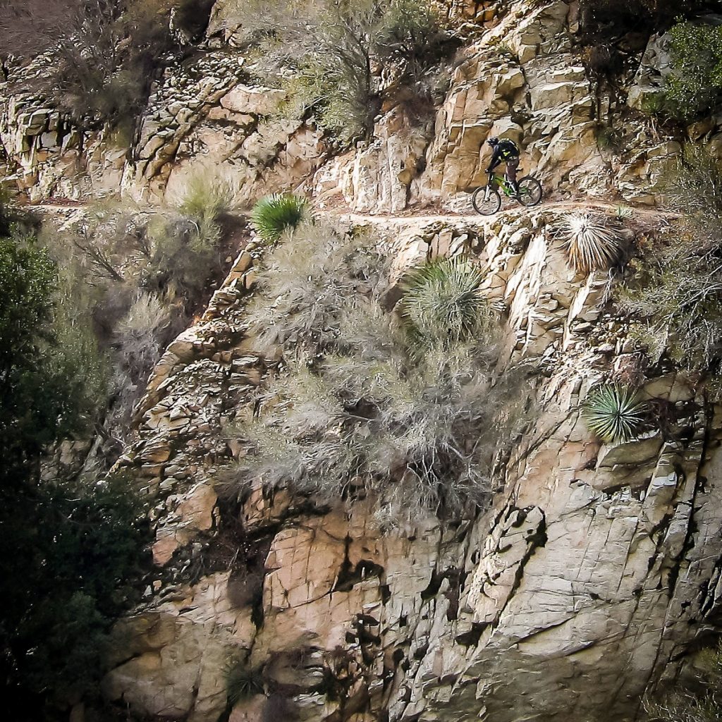
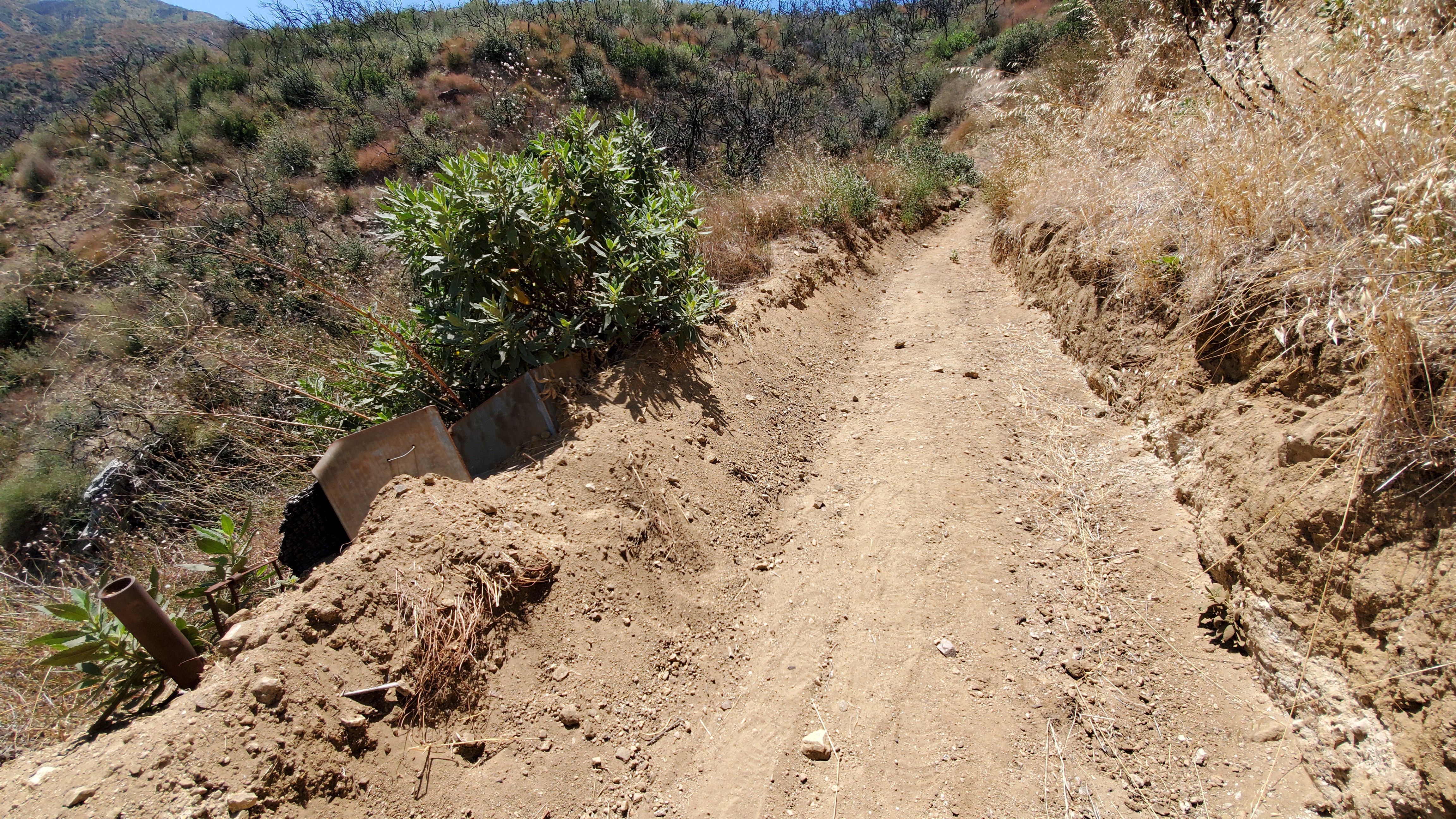
Condor Peak trail is a steep, exposed and challenging backcountry trail.
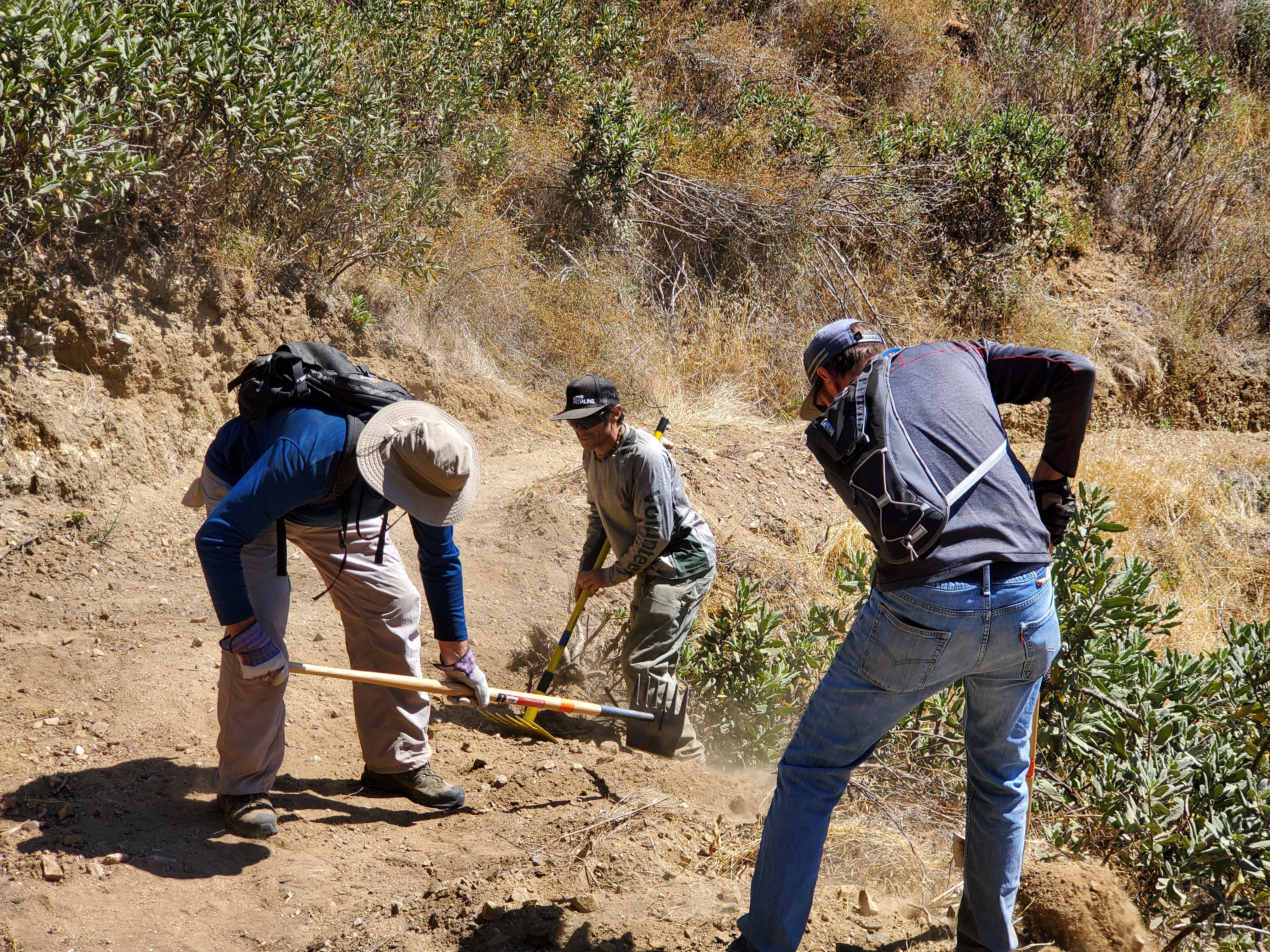
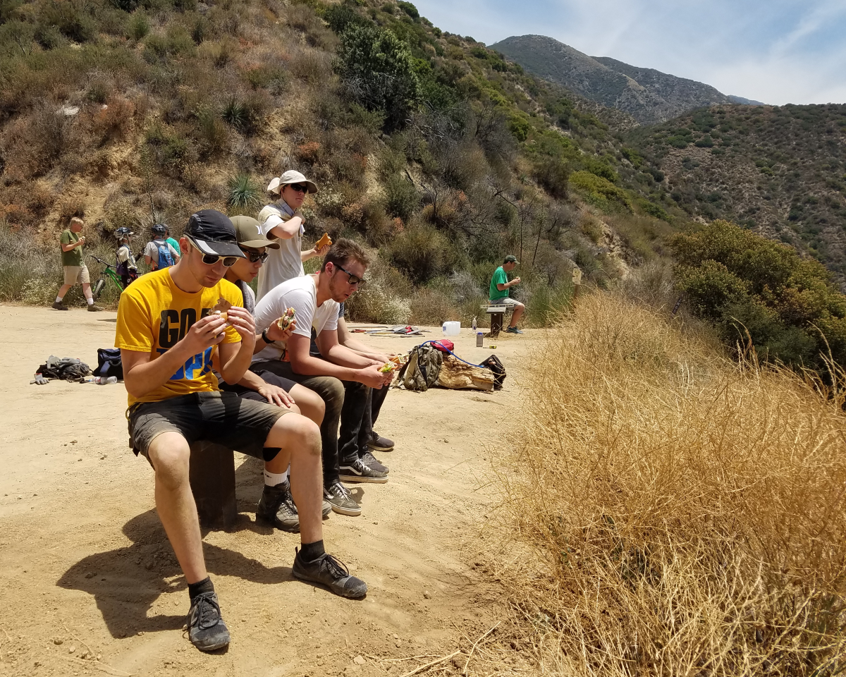
For mountain bikers, Condor Peak trail was not up for negotiation. While we support protecting the character of the area, we wanted to ensure not only that bicycles could continue to access it, but also that mechanized maintenance (using chainsaws or other powered tools) would continue to be allowed. We’ve seen many trails that have been closed to bikes by Wilderness designations slowly deteriorate as volunteer groups cannot keep up with the existing trail maintenance backlog, and the Angeles National Forest has no trail crew of its own.
The solution we reached was to propose two Wilderness Areas on each side of the trail. The resulting legislation passed last week in the House creates the Yerba Buena and Condor Peak Wilderness areas, separated by a 100′ buffer through which the Condor Peak trail passes. Trail Canyon trail, the only other trail within the proposed Wilderness boundary, is cherry-stemmed out of the Wilderness allowing bicycle access to Trail Canyon falls and the nearby campground. A portion of the upper Trail Canyon trail, which has not been passable by bicycle in decades, will fall within the new wilderness boundary.
CORBA chose not to oppose this latest bill as it had no impact to mountain bike access. However, we could not support it fully, as it does nothing to enhance our mission of improving and increasing trail access for mountain bikes. We remain neutral on the bill, but if it passes, we will remain fully engaged in its implementation to further keep the interests of mountain bikers represented.
There are two amendments being sought by CORBA and IMBA. Due to what appears to be a mapping error, three switchbacks along the Mt. Waterman trail dip a few dozen feet into the Wilderness area. Though the Forest Service manages it as a non-wilderness trail, an amendment to the bill, by inserting “fifty feet south of the Mt. Waterman Trail” into the legal description of the wilderness area boundary, would correct that.
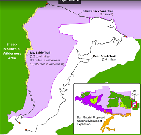
Proposed Boundary Adjustment
The other amendment we are seeking is more challenging. The eastern Boundary of the Sheep Mountain wilderness passes directly over the summit of Mt San Antonio (AKA Mt. Baldy). It is the only one of three peaks in Southern California over 10,000′ and above treeline to which bicycles have access (via the Devil’s Backbone trail). Wilderness advocates wanted to expand the Wilderness boundary eastward, entirely enveloping the Bear Creek trail in Wilderness. The trail follows the Wilderness boundary, lying just inside the boundary by 25 yards. The trail would completes an incredibly challenging, high-elevation, backcountry loop. We are seeking an amendment to move the boundary 75′ west of the trail, removing it from wilderness, and opening the loop to bicycles. The boundary remains unchanged in the current legislation.
These two amendments would remove approximately 75 acres of existing wilderness in a bill that adds over 31,000 acres of new Wilderness. These will be difficult asks for some, but we feel the ride loop this boundary adjustment would create a truly unique experience that is attainable nowhere else.
National Monument Expansion
The bill also expands the boundary of the San Gabriel Mountains National Monument, which was declared in October 2014. The boundary expansion makes sense geographically, as one of the biggest challenges in developing the current Monument management plan (as a Forest Management Plan Amendment) was the allocation of district-specific resources.
The Forest Service felt growing pains as they transitioned from three districts to one district and a National Monument (which is managed as a district). The Monument designation left out the most historically significant and most visited section of the Angeles National Forest, which includes the front country trails south and west of Mt. Wilson, and Mt. Lukens, and areas south of Big Tujunga. There was confusion among Forest Service staff when a vehicle, for example, was assigned to the district, but was stationed physically much closer to the Monument. It has taken years, but those challenges have been largely sorted out.
This time around, the bill requires the development of a management plan within three years (the plan amendment for the SGMNM took almost four years to complete). The current Monument designation had no impact to trail access for mountain bikes, and has brought in some additional funding and additional attention to our local mountains. In fact, IMBA and CORBA worked closely with the White House in 2014 to ensure that mountain biking was specifically mentioned in the monument proclamation ensuring its future acceptance. As a result, visitorship has steadily increased since the 2014 designation.
San Gabriel National Recreation Area
The third section of Chu’s bill will create a new National Park Service unit in the San Gabriel Valley. The San Gabriel National Recreation Area would become a new unit of the National Park service. It would comprise land along the foothills of the San Gabriel Mountains and corridors along the San Gabriel, Rio Hondo, and other rivers and open spaces in the San Gabriel Valley.
The proposed NRA would not change any land ownership, nor restrict any current land owner from managing their land (and their trails) as they are already doing. It allows willing landowners or land managers within the NRA boundary to partner with the NPS to improve recreation, habitat connectivity, water quality, wildlife corridors and public access. It doesn’t change any existing trails, and has the potential to bring additional federal resources to local projects.
With all these aspects of the bill, our biggest concern is that the agencies managing lands the bills protect are not adequately funded at a level necessary to do their job effectively. Creating additional financial obligations by the Forest Service and National Park Service, when current budgets are falling short, will bring its own set of challenges.
H.R.3820 has a companion bill in the Senate, S.1109, introduced by Senator Kamala Harris. We will continue to work towards those amendments in the Senate version of the bill, which will face a tougher challenge under the current administration. If the bills fail this year, we expect them to be reintroduced in future sessions of congress.
A fact sheet from Judy Chu’s office can be found at https://chu.house.gov
Rim of the Valley Corridor Protection Act
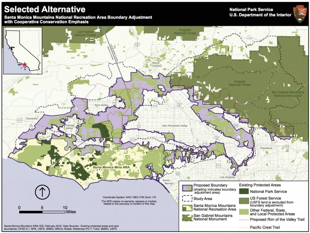
H.R.1708 was introduced by Congressman Adam Schiff, after several years where similar legislation failed to make it out of committee. The Rim of the Valley Corridor Preservation Act will expand the boundary of the Santa Monica Mountains National recreation area. The expanded boundary will include the mountains surrounding the Santa Clarita, San Fernando, Simi, La Crescenta and Conejo valleys. These include the Santa Susana Mountains, the Simi Hills, the Verdugo Mountains, and other adjacent lands and river corridors as shown below.
The act does not change the current management of any land or trails within the expanded boundary. What it will do is allow willing landowners or land managers to partner with the NPS on projects that may enhance recreational access, improve habitat and wildlife connectivity, or provide capital improvements. It does not take land away from any existing landowners, nor does it force existing land managers to partner with the National Park service in any way. It has no downsides for mountain biking, and has the potential to improve trail access.
CORBA’s original mission statement and our operational boundary was defined as “the Rim of the Valley Corridor.” This bill is therefore very much at the heart of CORBA’s mission.
The bill was the outcome of a six-year feasibility study, authorized by an act of Congress in 2008. The study began in 2010, with CORBA engaged throughout the six-year process, attending public meetings, providing expert testimony and public comments, and encouraging public discourse and engagement in the process.
The study sought to determine if the area possess nationally significant natural or cultural resources; whether it is it a suitable and unique addition to the National Park System; whether it is feasible to add it to the Park System; and does it require direct NPS management, instead of stewardship from other groups or a public-private combination? The answer to the first three questions was Yes. Since the study concluded in 2016, legislation has been introduced twice without success. Last week the bill passed the House. In December, the Senate Committee on Energy and Natural Resources passed the Rim of the Valley Corridor Preservation Act, moving it one step closer to the Senate floor.
We are fortunate in Southern California to have one of the most mountain bike friendly NPS units in the country, the Santa Monica Mountains NRA. Currently all National Park service managed singletrack trails in the Santa Monica Mountains are open to bicycles. In fact, the only trails closed to us are closed by the Boney Mountain State Wilderness, and California State Parks. We expect the NPS to continue supporting a multi-use trail policy in the expanded NRA. In fact, all of the land managers within the expanded boundary, with the exception of the City of Los Angeles, are multi-use friendly.
Lands within the Angeles National Forest are specifically excluded from the expanded NRA. The Forest Service and the National Park Service already have an arrangement in which they are able to share resources for the benefit of our public lands under the Service First authority, which was made permanent in 2012.
For these reasons we are supportive of the expanded boundary of the Santa Monica Mountains NRA in the current legislation. However, to our knowledge there is no additional budget allocated to the expanded NRA, nor to the new San Gabriel NRA in Chu’s bill. For these reasons we have been reluctant to throw our full support behind the bills as they can be considered unfunded (or underfunded) mandates. If these bills pass, we will advocate for increased funding, and will remain engaged with land managers in the development of their management plans, and to identify opportunities for creating or improving multi-use trails and mountain bike access.
The Rim of the Valley trail was originally envisioned by Marge Feinberg in the 1960s as a trail that encircles the San Fernando Valley, connecting communities with their local mountains. The trail itself is being piecemealed together as opportunities present themselves. The vision of a trail led to a broader vision to protect the mountains surrounding our valleys, and ultimately to H.R.1708. It has been a forty-year effort to protect the mountains that define our valleys.
A fact sheet on the bill can be found at https://schiff.house.gov