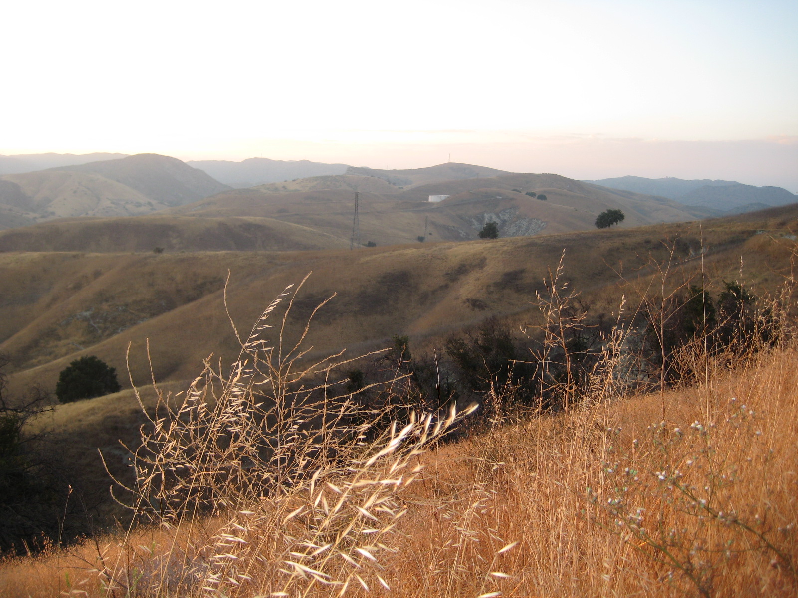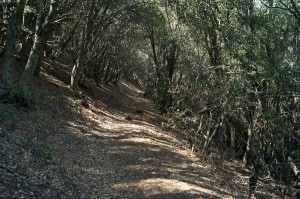
Burnt Peak Canyon Trail
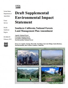
Today, March 25, 2013, in a stakeholder meeting with the Forest Service and Wilderness advocates, we learned that our initial assessments of the National Forest Land Management Plan Amendments were based on an inaccurate interpretation of the draft proposal. Neither the maps supplied nor their descriptions show that the Forest Service had taken our comments into consideration.
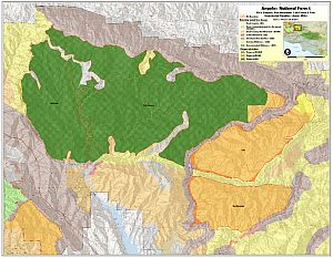
In Alternative 2, the FS cherry-stemmed out the three official Forest Service trails in the area–Burnt Peak trail, Fish Canyon trail, and Gillette Mine trail–as per our initial requests. By “cherry-stemmed” we mean that they have drawn the wilderness boundary so that the trails retain a Backcountry Non-Motorized designation, allowing bicycles, while the surrounding area would become Recommended Wilderness. In this case the “cherry stems” are comprised of a 25-foot buffer either side of the historic trail alignment, as it is recorded in the Forest Service database.
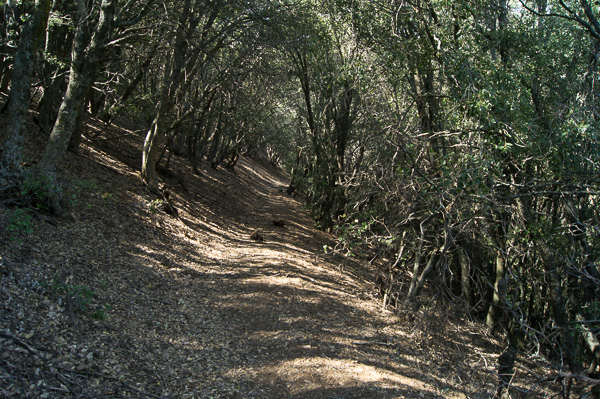
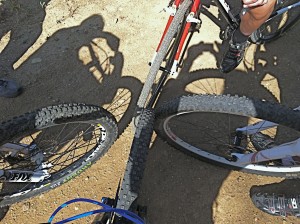
While we greatly appreciate the Forest Service’s willingness to accommodate bicycles, there are a number of problems with this approach. First and foremost is the fact that sections of the official system trails are in disrepair and some sections have disappeared. Most of the trails in this area have been neglected for years, and for a portion of their length, have been reclaimed by nature. We have been led to believe that in some sections the only way to travel the “trail” is a wet-feet hike down the middle of the streambed. If true, this presents a problem for the future, as a 25’ buffer is not realistically wide enough to reconstruct these trails in a sustainable way, out of the streambed, or away from precipitous canyon walls. Having a trail corridor cherry-stemmed out of the wilderness will do us no good if we are unable to rebuild the trail because of the sensitive nature of the riparian habitat through which it passes, or trail engineering limitations.
We also learned that the Forest Service does not have a current Trail Master Plan or Travel Management Plan that clearly identifies official and unofficial trails and assesses their condition. Such a plan would ideally make recommendations for rerouting existing trails to more sustainable alignments, and also provide guidance on where new trails should be constructed or existing unofficial trails be made official, to accommodate growing future demands for recreational access, connectivity and diversity of experience.
At this point we must remain fully opposed to Alternative 3, which designates the Fish Canyon/Salt Creek, Tule and Red Mountain areas as recommended wilderness with no allowance for multi-use trails now or in the future. Alternative 3 would forever remove most recreational opportunities, including cycling, from tens of thousands of acres of land near the Santa Clarita and Antelope Valley areas, leaving precious little land for future generations of mountain bikers and others who value both conservation and outdoor recreation.
Alternative 2 is the Forest Service preferred alternative. While far better for us than Alternative 3, because of the problems with the current trails and cherry-stems based on those apparently non-existent trails, we are reluctant to support Alternative 2 in its current form. We do, however, agree that the area as a whole is worthy of protection from development, infrastructure, road building, and extractive use. Such protections are already provided by a Backcountry Non-Motorized designation, and existing critical habitat designations. In fact, in Appendix 2 of the current draft, the Fish Canyon IRA Evaluation states “….a change in land status may not substantially increase protection.” Similar statements are made for each of the areas under consideration for recommended wilderness.
We believe that it is premature and irresponsible to designate a recommended wilderness for this area without a full assessment of the existing trails and future trail needs by Forest Service staff and/or trained professional trailbuilders. We urge the Forest Service to complete a trail master plan and/or travel management plan that includes full assessments of existing system and non-system trails, proposed re-routes of existing trails to more sustainable alignments, and the identification of desired new trail alignments that provide missing connectivity and a more diverse range of trail experiences. We could subsequently support the stronger protections of a special conservation area or recommended wilderness that cherry stems out the trail corridors identified in such a plan.
Further, we continue to have concerns about the Golden Eagle trail. While not an official Forest Service trail, it is the most popular singletrack trail for cyclists in the area. The trail appears to cross the proposed wilderness boundary, but only for very short distances. We and the wilderness advocates both agree that the proposed wilderness boundary should be adjusted to exclude this popular trail. But without data gathered by the Forest Service in a trail master plan, the exact location of an adjusted boundary would be an educated guess at best. Again, this is an issue that would be addressed by a travel management and/or trail master plan.
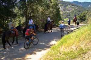
We must therefore express our support for Alternative 1, the no-change alternative, unless the aforementioned concerns are addressed within Alternative 2. Something that everyone recognizes is that the populations of Santa Clarita and Antelope Valleys are growing. The mountain biking community is also growing rapidly. The most popular trails for SCV cyclists are in Tapia Canyon, private land that will one day be developed. We need to consider and allow for future demand for trails and balance that need with protecting remaining open space from development. Only Alternative 1 allows for future growth, while providing protection for this special area.
We have no additional comments on proposed changes in other areas of the Angeles National Forest, and defer to local advocacy groups for proposed changes in the Los Padres, San Bernardino and Cleveland National Forests.
After the public meetings, we’ll be putting together our official comments for the Angeles National Forest, and will encourage everyone to send their own comments to the Forest Service.