July Skills Clinic photos posted July 11

July 11th, 2017

This month we had a twelve riders total, with one dropping out and another one joining us in the middle! Graham again filled in taking pictures for Steve who was rafting the Colorado River through the Grand Canyon.

The Basic Skills Clinic is always held the first Saturday of the month at Malibu Creek State Park.

You can see the photos in our July photo gallery.

July 2017 eTerraTimes Newsletter Published June 28th

June 28th, 2017

The July 2017 edition of CORBA’s bimonthly newsletter, the eTerraTimes, was published today, June 28th. If you don’t get it by email, you can view it online.

As always, the eTerraTimes has all the latest news for mountain bikers in the Santa Monica Mountains and surrounding areas.

Sapwi Trails Bike Park Moves Forward

June 28th, 2017

CRPD listened to the public’s desires for non-mainstream recreational facilities, including the Bike Park, Frisbee Golf, Model Aircraft Launch, and hiking and biking trails. This is also balanced by habitat preservation and restoration, with only about 18 acres of the 145 acre park being developed. Things are moving forward with the park’s master design almost ready to be put out to bid.

CORBA and the Conejo Rec and Parks District (CRPD) have entered into an agreement to help bring a bike skills park to Sapwi Trails Community Park in Thousand Oaks. The agreement allows us to raise funds, hire design and construction contractors, put volunteers to work, and work side-by-side with the CRPD to make this happen.


To help fulfill our responsibilities under the agreement CORBA has formed the Sapwi Trails Committee, chaired by board member Peter Sullivan, with local cyclists, coaches, industry and a high school student-athlete who has already earned his Teen Trail Corps “Speak” badge for his efforts. The Committee consists of fifteen members, all local to, and with a direct interest in the park.

The committee is now soliciting input from the public on what types of amenities people would like to see at Sapwi Trails Bike Park. The online survey is available at: https://www.surveymonkey.com/r/2V7ZKFP. Let us know what you’d like to see at the Conejo Valley’s first mountain bike park.

CRPD has recieved funding from a variety of sources. At the June meeting of the Santa Monica Mountains Conservancy, CRPD was awarded a grant of $1.7m. Funding is now in place for the park’s infrastructure (bathrooms, parking, fencing, playgrounds, etc), with the final touches being put on the plans before going out to bid.

CORBA will be raising funds for the park, so watch out for fundraiser announcements. Follow the Sapwi Bike Park on Facebook or Instagram.

HR3039, the San Gabriel Mountains Forever Act

June 28th, 2017
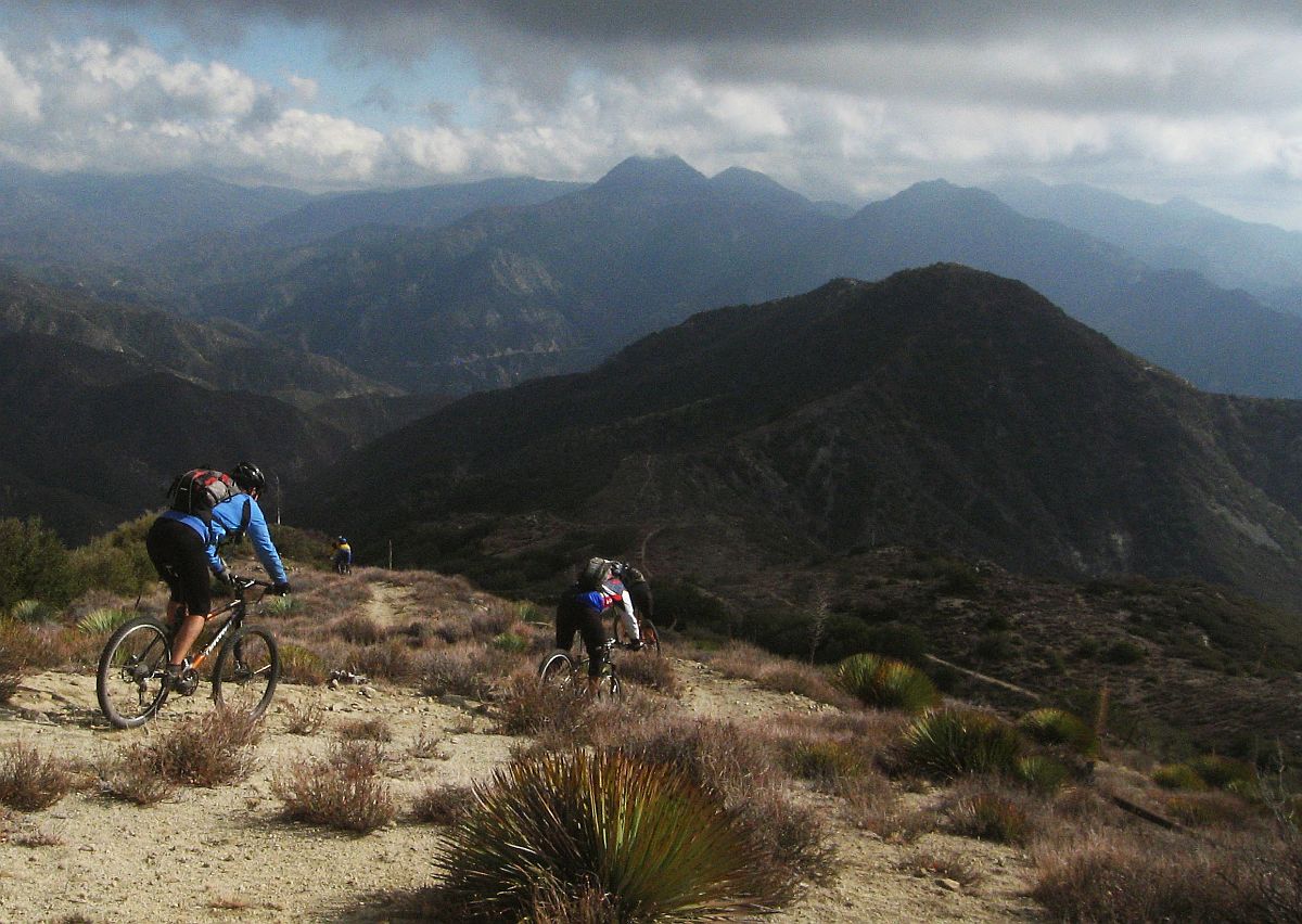
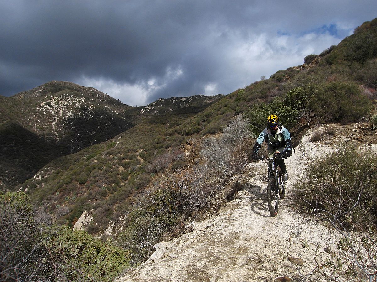
Condor Peak Trail before the Station Fire

Condor Peak Trail (2007)

On June 23, 2017, Congresswoman Judy Chu (CA-27) introduced a new bill to expand wilderness areas in the Angeles National Forest, and protect several rivers as wild and scenic rivers. Spearheaded by the San Gabriel Mountains Forever group, the bill is the result of many years of efforts to protect our local mountains.

A previous success of the San Gabriel Mountains Forever group was the establishment of the San Gabriel Mountains National Monument. CORBA President Steve Messer has been representing mountain bikers on the San Gabriel Mountains Community Collaborative, working alongside representatives of the Sierra Club, The Wilderness Society, and other environmental and social justice organizations.

For the past eighteen months we’ve been working together to ensure that mountain biking gets due consideration in these proposals. CORBA has opposed previous wilderness efforts that hurt bicyclists’ access to trails. With support from IMBA and MWBA, we worked out boundary adjustments that expand the Sheep Mountain and San Gabriel wilderness areas, but do not impact any trails that are currently open to bicycles.

The bill also establishes two new units of the Wilderness Preservation System, the Condor Peak Wilderness and the Yerba Buena Wilderness. These two wilderness areas protect the majestic Condor Peak, while leaving the Condor Peak trail outside the wilderness areas with a wide buffer.  While Condor Peak is not a popular trail for cyclists, it offers an increasingly-unique wilderness-type backcountry experience for those seeking to challenge themselves in nature. The trail can continue to be maintained using mechanized tools.

The western boundary of the proposed Yerba Buena Wilderness is the Yerba Buena Ridge trail, which could provide an epic backcountry loop ride with Condor Peak trail. Both trails, however, are in need of maintenance and are on our radar for future restoration work.

Condor Peak Trail

The following areas will be designated as wilderness in HR 3039:

Condor Peak Wilderness: Located in the Lower and Upper Big Tujunga Watersheds this designation preserves 8,417 acres of public lands. The unit rises abruptly from 1,800 feet on its southern flanks to over 6,000 feet at its northern boundary near Mt. Gleason. The Condor Peak Trail will be outside the Western boundary of this unit. Yerba Buena Wilderness: Preserves one of the most spectacular undeveloped landscapes in the San Gabriel Mountains (6,774 acres). The Condor Peak trail is just outside the eastern boundary of this unit. The western boundary is 300′ from the Yerba Buena Ridge trail, leaving both open to bicycles. The Trail Canyon Trail is cherry-stemmed (excluded from wilderness) up to the campground and waterfall. San Gabriel Wilderness Additions: This adds 2,027 acres to the existing San Gabriel Wilderness encompassing areas with dramatically rising slopes and a variety of flora and fauna. Sheep Mountain Wilderness Additions: Adds 13,851 acres to the established Sheep Mountain Wilderness. The Sheep Mountain Wilderness Additions are contiguous with the existing wilderness and add important landscapes to the wilderness area’s northwest and southwest/southern flanks.The bill also protects the 25.3 miles of the East, West and North Forks of the San Gabriel River, and 20.2 miles of Little Rock Creek as Wild and Scenic Rivers.

We truly appreciate being able to be proactive, working with the Sierra Club, The Wilderness Society, CalWild, and the San Gabriel Mountains Forever group. We also benefited greatly from IMBA’s support at the national level, and our partnership with the Mount Wilson Bicycling Association locally.

While this wilderness bill does not hurt mountain bikers’ access to trails, it does nothing to expand or directly improve existing opportunities. It does however, protect the remote backcountry experiences provided by the Condor Peak trail, the Yerba Buena Ridge trail, and the lower Trail Canyon Trail, ensuring these trails through this pristine landscape will be preserved, ready to be experienced by foot, hoof or bicycle.

Grasslands Trail Reroute in Malibu Creek State Park Now Open

June 27th, 2017

In 2010, a steep and unsustainable spur of the Grasslands Trail in Malibu Creek State Park was closed for plant rehabilitation. The spur was a shortcut from Grasslands to High Road. Fences were erected at both ends and “Closed” signs were posted. These signs were torn down by trail users and the fences cut. Parallel trails that skirted the end of the fence appeared beside the original spur. Eventually the bedraggled fences were removed completely.

The new trail has a great view!

The plan from the beginning was to rebuild the trail along a much less steep and much more sustainable route. Under-funding of State Parks, bureaucracy and distracting emergencies such as wildfires and mudslides in Pt Mugu State Park being what they are, rebuilding of the trail has experienced years of delays.

But it is finally open! (Even if it’s not quite complete.)

The new trail starts near the top of the old spur and connects to High Road a little further west (closer to the MASH site) than the spur.

IMG_6598.jpg

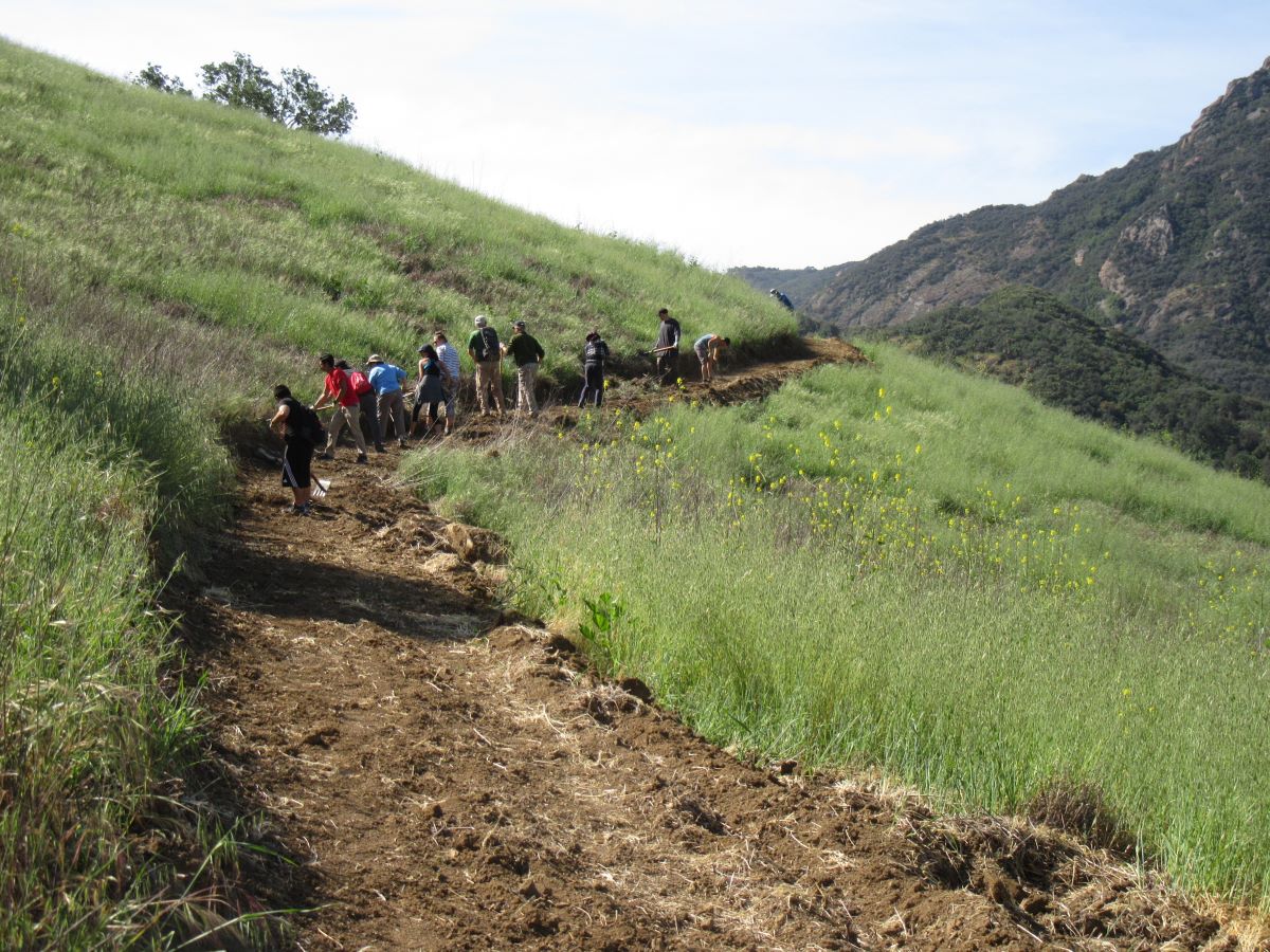
Volunteers are finishing the first part on the new trail on Earth Day.

The reroute was built in two parts. The first was constructed by volunteers on Earth Day, April 22. The route had been previously cleared of grass and low chaparral by State Park workers and the volunteers finished it by digging it out to have an appropriate width and slope. This segment ended at a small seasonal drainage that was dry at the time.

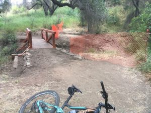
State Park workers finished the second half and the trail is now open for use. The seasonal drainage will have a bridge built across it so that the trail can be used year-round, and that bridge is expected to be compete by the end of the summer.

The CORBA Hill Climb contest on the Grasslands spur during the Fat Tire Fest in 2007

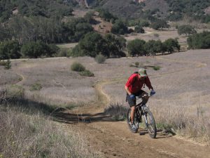
The new trail is longer than the original spur and therefore much less steep. The old spur was so steep that it was a real challenge to climb. In fact, CORBA used that section for the hill-climbing contest when the Fat Tire Fest was held in Malibu Creek State Park. The best part is that that new trail has a fantastic view of the trees, meadow and mountains in the background. The gentler slope now allows you the time to look around and enjoy the surroundings, both on the way down and up.

Kudos to State Parks for building a great new trail! The old spur and parallel trails are closed so please use the new trail when riding Grasslands Trail in Malibu Creek State Park to allow the native vegetation to recover on the steep hillside!

What’s up with the new bridge in Point Mugu State Park?

June 24th, 2017

Recently a sturdy bridge was built across a short gully on the Sin Nombre Trail in Point Mugu State Park. This bridge bypasses a sharp corner that has been the location of many serious mountain biking accidents. Here’s the story of the corner and the bridge.

Climbing away from the corner. You can see the rocks on the edge that were placed to widen the trail, and how steep the drop is.

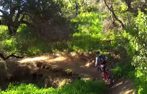
The corner in question is about 0.1 miles from the top of the trail at Ranch Center Road, where a small, usually dry stream crosses it. From Ranch Center Road, Sin Nombre Trail crosses the edge of a meadow and enters a grove of oak trees. It bends right and downhill for about 20′, rounds the corner in question to the left, turning over 90-degrees, then climbs out of the stream crossing and narrows.  On the left side of the trail is a steep drop into the rocky stream bed about 5′ below. The corner looks really easy to negotiate and that’s the deception that has caused so many crashes and injuries. The natural tendency is to brake to slow on the downhill side to negotiate the sharp corner. The climb out of the corner is unexpectedly steep, so riders who haven’t downshifted can stall and put their foot down. They always put their left foot down because they’re already leaning that way after going around the sharp left corner. Unfortunately the trail is very narrow on the climb out, so unless the bike is on the very inside edge of the trail, the foot goes off the edge of the trail, followed by rider and bike, ending in a pile on the rocks of the stream bed. The seriousness of the injury is dependent on how lucky the rider is on landing on the rocks several feet below. Some of the injuries have been very serious, resulting in broken bones and nerve damage. One rider was paralyzed and unable to feel anything below his neck. Fortunately he’d just sprained his neck, not broken it, and feelings and movement returned after about 10 minutes. In addition there have been lots of regular scrapes, gouges and sprains.

There are other ways to crash on that corner, but putting the left foot down off the edge of the trail is very common.

The new bridge on the Sin Nombre Trail in Point Mugu State Park.

CORBA with lots of help from the Santa Monica Mountains Trails Council worked to improve this section of the trail in 2012. Volunteers widened the hazardous section of the trail a few inches by embedding large flat rocks at the edge. Unfortunately the trail can’t be widened further by cutting into the inside edge because of oak trees and their roots at the edge of the trail.

Widening the trail be even a few inches certainly kept some people from tumbling down into the rocks below, but still people were having serious injuries there.

A few years ago, the father of a young Boy Scout fell and sustained very serious injuries. Many falls have resulted in broken bones, including at least one broken pelvis.

Now an Eagle Scout candidate, the young man embarked on a project after consulting with State Park officials to fix this issue once and for all. The result is the new bridge and the old hazardous section has been closed off.

Some people will probably be upset that the thrill of rounding this one corner has been removed from the trail, but I hope that when they understand why, they will happy to give up one turn to save less-experienced mountain bikers from falling on the rocks and seriously injuring themselves. So far as I know, nobody has been killed on this corner, but it was just a matter of time.

Many thanks to the young Eagle Scout who completed this project and the many scouts and friends who volunteered to help him!

Support the San Gabriel Mountains National Monument

June 8th, 2017

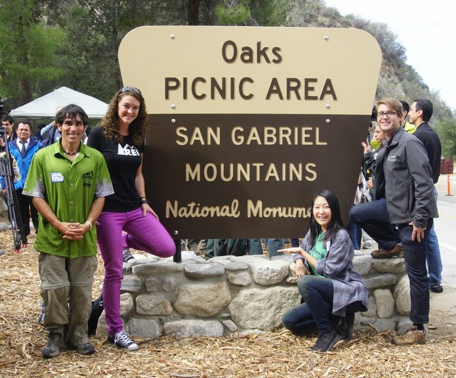
CORBA, IMBA, REI, and NFF at the Oaks Unveiling

CORBA has submitted a letter supporting the preservation of the San Gabriel Mountains National Monument. President Trump’s executive order 13792 called for a revision of the many National Monuments that were presidentially-designated under the Antiquities Act from the last two decades. Department of Interior Secretary Zinke has been charged with overseeing the review of these National Monuments for a number of specific items:

In making the requisite determinations, the Secretary is directed to consider, and is seeking public comment on:

(i) The requirements and original objectives of the Act, including the Act’s requirement that reservations of land not exceed “the smallest area compatible with the proper care and management of the objects to be protected”;

(ii) whether designated lands are appropriately classified under the Act as “historic landmarks, historic and prehistoric structures, [or] other objects of historic or scientific interest”;

(iii) the effects of a designation on the available uses of designated Federal lands, including consideration of the multiple-use policy of section 102(a)(7) of the Federal Land Policy and Management Act (43 U.S.C. 1701(a)(7)), as well as the effects on the available uses of Federal lands beyond the monument boundaries;

(iv) the effects of a designation on the use and enjoyment of non-Federal lands within or beyond monument boundaries;

(v) concerns of State, tribal, and local governments affected by a designation, including the economic development and fiscal condition of affected States, tribes, and localities;

(vi) the availability of Federal resources to properly manage designated areas; and

(vii) such other factors as the Secretary deems appropriate. 82 FR 20429-20430 (May 1, 2017).

As a participating member of the San Gabriel Mountains Community Collaborative, CORBA agrees with the findings expressed in the Collaborative’s letter to Secretary Zinke. While there are both supporters and one-time opponents of the Monument on the Collaborative, the Collaborative’s letter specifically addressed each of the seven points of consideration listed above without expressing support or opposition to the monument itself. The findings are that the Monument meets or exceeds the criteria established above. The Collaborative’s letter can be found HERE

CORBA has submitted a letter of support as well, and we urge our members and constituents to submit your own comments at https://www.regulations.gov/document?D=DOI-2017-0002-0001.

CORBA’s letter can be found HERE.


June Skills Clinic photos posted June 4

June 4th, 2017

This month we had a huge group of 32, possibly an all-time record, to make up for the 3 we had last month! Graham again filled in taking pictures for Steve who had a prior commitment to help celebrate National Trails Day.

The Basic Skills Clinic is always held the first Saturday of the month at Malibu Creek State Park.

You can see the photos in our June photo gallery.

May Skills Clinic photos posted May 6

May 6th, 2017

There was a very small group of only three at this month’s Skills Clinic, on a very gray day in May.

The Basic Skills Clinic is always held the first Saturday of the month at Malibu Creek State Park.

You can see the photos in our May photo gallery.

Schwarzenegger proposal to help narrow Calif.’s huge deficit would close 220 state parks

June 30th, 2010

By SAMANTHA YOUNG , Associated Press (reported in the Minneapolis – St. Paul Star Tribune)

Local parks slated for closure include

The California State Parks Foundation has compiled a complete list of parks proposed to be closed.

What you can do to help prevent closure of our parks


SACRAMENTO, Calif. – Gov. Arnold Schwarzenegger’s budget cuts could mean the closing of up to 220 state parks, among them the home of the world’s tallest tree and other attractions that draw millions of visitors. Schwarzenegger this week recommended eliminating $70 million in parks spending through June 30, 2010. An additional $143.4 million would be saved in the following fiscal year by keeping the parks closed.

“This is a worst-case scenario,” said Roy Sterns, a spokesman at the state parks department. “If we can do less than this, we will try. But under the present proposal, this is it.”

Among the parks that could be closed, the parks department said Thursday, are Lake Tahoe’s Emerald Bay, Will Rogers’ Southern California ranch and Humboldt Redwoods State Park, which boasts the world’s tallest tree, a giant that tops 370 feet. Even the Governor’s Mansion in Sacramento is on the list.

The Legislature last year rejected the governor’s proposal to close 48 state parks. But lawmakers said that with California’s budget deficit now at $24.3 billion, the situation is so dire that it is likely some parks will close.

“Things that were previously dead on arrival are a lot more viable in a crisis like this,” said Democrat Jared Huffman, chairman of the Assembly’s parks and wildlife committee. “I think some cuts are coming to the parks, and they’ll be cuts I won’t like and the public won’t like.”

The state parks department said a $70 million cut would leave it with enough money to run just 59 of California’s 279 state parks.

The state’s famed park system attracts nearly 80 million visitors a year. William Randolph Hearst’s Castle on the Central Coast and a dozen other so-called moneymakers would remain open, as would many Southern California beaches that attract millions of visitors year round.

But others that could close include: Fort Ross State Historic Park, the southernmost Russian settlement in North America; Bodie State Historic Park, one of the best-preserved Old West ghost towns; and Big Basin Redwoods, the oldest state park.

The proposal has angered conservationists and some Democrats in the Legislature, who say California’s parks are treasured spots that help the state and local economy.

“State parks draw tourism to California,” State Parks Foundation president Elizabeth Goldstein said. “This proposal makes the budget situation worse.”

The foundation estimates the state gets a $2.35 return for every dollar it spends on parks.

California spends roughly $400 million a year running 279 state parks and beaches, with roughly a third of the money coming from the state general fund. The rest comes from user fees, which account for slightly more than a quarter of the revenue; bond funds; gasoline taxes; federal money; and other sources.

Assembly Minority Leader Mike Villines said the state cannot afford to subsidize state parks when lawmakers are being asked to make severe cuts in even more vital areas.

“Parks are just not going to be a priority over public safety and education, as much as we hate to see them close,” Villines said.

At least 2,000 park rangers, biologists, lifeguards, interpreters, architects and maintenance workers would be laid off if the proposal is adopted, said Sterns, the parks spokesman.

The layoffs would be in addition to 5,000 state positions the governor has already recommended cutting.

“When you cut that much, you have to let go highly trained teams of biologists that you can’t get back in a year or two,” Huffman said. “It’s a myth to think you can mothball the entire system. These cuts will cripple the park system for a decade or more.”