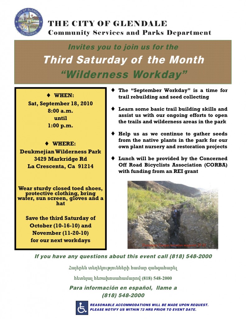
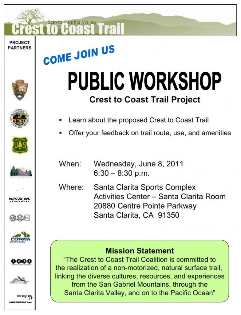
 If you live or ride in or around Santa Clarita the Coast to Crest trail should be on your radar. The trail is envisioned as multi-use route from Magic Mountain in the eastern Angeles National Forest to the coast in Ventura County. It is envisioned running along the northern slopes of the ANF, across the 5 and 14 to Santa Clarita Woodlands parks and eventually out through the Newhall Ranch property where it will meet the Ventura County line.
Archive for the ‘San Gabriel Mountains’ Category
Crest to Coast Trail Public Meeting, Santa Clarita, June 8
Friday, May 13th, 2011 If you live or ride in or around Santa Clarita the Coast to Crest trail should be on your radar. The trail is envisioned as multi-use route from Magic Mountain in the eastern Angeles National Forest to the coast in Ventura County. It is envisioned running along the northern slopes of the ANF, across the 5 and 14 to Santa Clarita Woodlands parks and eventually out through the Newhall Ranch property where it will meet the Ventura County line.
Eagle Scout El Prieto Trailwork
Sunday, May 8th, 2011Saturday, May 7, 2011, Connor Ryken began his Eagle Scout Project: to restore at least  nine sections of El Prieto that were hit hardest by this past winter’s storms.
CORBA Trail Crew volunteer Steve Messer and Friends of El Prieto’s Banner Moffat provided technical guidance for the project, helping lead today’s trail crews that were organized by Connor.
A lot was accomplished today with four of the nine planned sections being completed. Two of the sections were completely wiped out by last winter’s storms, leaving fine singletrack that disappeared suddenly in the sandy streambed. With the eager help of Connor’s boy scout and high school mountain bike league friends, we were able to move tons of rock to provide a stable trailbed above the stream area. We also completed a rip rap wall and rock armoring of the last creek crossing (as you descend), and repaired some other smaller sections.
Recently, Deputy Superintendent Marty Dumpis talked of the Forest Service’s goal of opening up to 110 miles of trails and 98,000 acres of the closure before summer. We hope Brown Mountain and El Prieto will be on that list soon.
There’s still a lot to do on El Prieto. Connor will be out there next Saturday, May 14, 2011, continuing on his project. Come out and volunteer to help restore one of everyone’s favorite trails.
Connor on the completed section:
LA County Draft Trails Manual Public Hearing
Tuesday, March 1st, 2011 On February 28, 2011, about 50 people gathered in the beautiful Birch Room at Descanso Gardens in La Canada. We were there to review and comment upon the most recent draft of the Los Angeles County Trails Manual. But let’s back up a bit…
Last July, CORBA board members met with LA County Planning and Sapphos Environmental (the contractor developing the Trails Manual for the County), in a Mountain Biker only public forum. At that meeting only three CORBA board members attended, the County representatives, and nobody else. The Equestrian-only meeting had many more participants, as did the Hiker-only meeting. Since this document will not set any policy regarding trail designations, Sapphos deemed it more productive to hold separate meetings with each user group. Each group gave their input on what they’d like to see covered in the trails manual, and their special concerns.
At that time in July 2010 there was only one section of the trails manual available for review: the section concerning trail design standards. Most of the standards in that preliminary section were adapted from IMBA’s Trail Solutions book, and other reputable multi-use trail construction texts. It was to be a technical document on building and designing trails, with no influence on the contentious issues around trail user groups and trail designations.
The County’s stated policy and goal is to accommodate all user groups on all trails possible. It is a multi-use, bike-friendly policy that works. We were informed at that time that there would be another round of public hearings as the manual was developed, based on the input from user groups at these meetings. The Manual is being developed with a grant from Supervisor Antonovich’s 5th district, in which the vast majority of the County’s trails can be found. The County has never had any offical trail standards, and many of the older trails are not really sustainable by today’s standards. However, this document would NOT be applied retroactively to existing trails, but will serve as the reference for all new trails that come before the County. It is likely that many of the 88 cities in Los Angeles County will also adopt this manual for their own standards once it is ratified by the County Board of Supervisors.
Fast forward to the February 28, 2011 public hearing. Steve Messer, and CORBA member/local cycling promotor and activist Dorothy Wong attended the meeting, along with about 40 local equestrians and hikers. For a welcome change from other meetings in which CORBA has been involved, the biggest issues raised were not contentious user conflicts, but rather, design standards pertaining to potentially flawed trail designs and citations from outdated Equestrian studies and facility designs.
FHA Plans for Mueller Tunnel, Mt. Lowe Fire Road
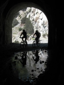
Monday, January 24th, 2011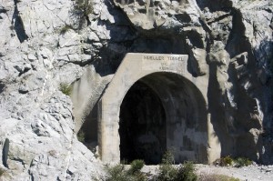 The Mueller Tunnel has long been a right-of-passage for many mountain bikers riding the outstanding front country trails of the Angeles National Forest. It is near Eaton Saddle along the Mount Lowe Truck Trail. The tunnel was closed after a landslide almost sealed the western end of the tunnel in 2009. The area has experienced many rock slides over the years. The steep, rocky terrain above the tunnel and fire road remain unstable and unsafe.
There has also been significant damage to the retaining walls which support the fire road next to the tunnel. Several years of heavy rain, and the subsequent Station Fire have kept the area closed for some time. In its current condition, the Mount Lowe Fire Road would remain closed even if the Station Fire closure order was removed.
Mt. Lowe Fire Road provides mountain bikers and hikers access to the Mt. Lowe trail, Sam Merrill Trail, Idlehour trail, and was a popular shuttle option from Mt. Wilson road. It was originally constructed in 1942. It also provides volunteer trail crews like CORBA’s convenient access to those trails for trailwork.
The Federal Highway Administration and the Angeles National Forest are proposing to reconstruct a portion of the roadway adjacent to the tunnel, to restore through access for Forest Service and fire fighting vehicles as well as for hiking, mountain biking and equestrian use. The construction would involve a new retaining wall to tie in to what remains of the existing retaining wall. The objective is to restore the fire road to existing roadway widths and stabilize the road.
 The Federal Highway Administration is requesting public feedback on the project. Feedback should be sent in by March 4, 2011 to Mr. Micah Leadford (HFPM-16), Federal Highway Administration, 12300 West Dakota Avenue, Suite 380, Lakewood, CO 80228 or by email to micah.leadford@dot.gov; by telephone at 720-963-3498.
CORBA will be submitting our feedback in the comings weeks.
Revised Station Fire Closure Order Issued
Saturday, January 22nd, 2011The forest service has just issued a revised closure order, going into effect tomorrow, January 22, 2011.
The only changes are the opening of the Red Box picnic area and Millard Campground. Though forest visitors will be able to stop, park and picnic at Red Box, all the surrounding trails remain closed. This order is in effect through January 21, 2012. The official notice and a map are available from the Forest Service web site.
According to the Forest Service, the area is still unstable and subject to slides, especially after events like the December storms. Canyons are also subject to flash flooding. Volunteer groups including CORBA have not been allowed to do any additional trailwork in the burn areas since the first rains of the winter season. However, much of the area is showing good signs of recovery.
Highway 2 remains closed between La Canada and Clear Creek, though it is now possible to drive to Red Box and Clear Creek from Upper Big Tujunga Canyon road. Caltrans has not announced an expected opening date.
Rim of the Valley Study Comments
Friday, October 29th, 2010As we reported back in August, the National Park Service has been holding public hearings on the Rim of the Valley Special Resource Study. The public meetings have provided an opportunity for many to voice their support and/or concerns for the concept study. Until midnight tonight, you can email your comments to the National Park Service.

Rim of the Valley Study Area
The Rim of the Valley is comprised of the open spaces that surround the San Fernando, La Crescenta, Santa Clarita, Simi and Conejo valleys. This area spans both Los Angeles and Ventury County, and a bevy of land managers from different agencies. CORBA fully supports the prospect of having these various land managers come together under the direction of the National Park Service, with the goal of permanently protecting this vital ecological and recreational resource.
Station Fire Closure Order Extended
Saturday, September 25th, 2010Last week the Forest Service issued an updated closure order for the Station Fire burn areas of the Angeles National Forest. The closure order has been extended until 9/19/2011. Part of the Forest has been opened. Unfortunately, the newly re-opened section of the forest is limited to a small portion in the Sunland area. This is much less than most had hoped for, but includes areas around the Doc Larsen trail which CORBA trail crews worked on back in June and July.
Here is the official press release from the Forest Service:
Date: Sept. 17, 2010
ANF Release # 10-12FOR IMMEDIATE RELEASE
Angeles National Forest
701 N. Santa Anita Avenue
Arcadia, CA 91006www.fs.fed.us/r5/angeles
Contact: Sherry Rollman or
John D. Wagner at (626) 574-5208Angeles National Forest reopens areas offering hiking, picnicking
ARCADIA, Calif.–Angeles National Forest will reopen an area about five miles long and two miles wide, northwest of Sunland, closed since the Station Fire last year.
The reopening of the Little Tujunga-Riverwood area is set for Monday (Sept. 20) and will offer the public recreation including picnicking and hiking. The area is being opened after trail improvements and storm-debris removal were completed.
The bulk of the forest’s burned areas remain closed for public safety, until further notice. “The Forest Service intent is to reopen areas severely damaged in the fire over the next few years as conditions allow,” said Jody Noiron, forest supervisor.
“We are developing a cohesive plan to create healthier, more sustainable ecosystems, involving water, vegetation and wildlife,” Noiron said. “We are making the hard decisions toward a healthier open-space for the L.A. basin in the future.”
Reopenings are taking place through a restoration plan, which engages the public on improving the health of the San Gabriel Mountains, and enlists volunteers.
The Forest Service invites volunteers, partners and others to help the forest with its natural resource conservation needs. If individuals or groups are interested in joining the efforts please visit our website at http://www.fs.fed.us/r5/angeles/.
The forest order for the pending reopening and an official map can also be viewed on the website.
Order No. 01-10-05AREA CLOSUREANGELES NATIONAL FORESTPursuant to 16 USC 551 and 36 CFR 261.50(a) and (b), and to protect natural resources and provide for publicsafety, the following acts are prohibited within the Station Fire Recovery Area of the Angeles National Forest. ThisOrder is effective from September 20, 2010, through September 19, 2011.1. Going into or being upon National Forest System lands within the Station Fire Recovery Area, exceptthe Hidden Springs Day Use Area and Monte Cristo Campground. The Station Fire Recovery Area isdescribed in Exhibit A and shown on Exhibit B. 36 CFR 261.53(e).2. Being on any National Forest System road within the Station Fire Recovery Area, which is described inExhibit A and shown on Exhibit B. 36 CFR 261.54(e).3. Being on any National Forest System trail within the Station Fire Recovery Area, which is described inExhibit A and shown on Exhibit B. 36 CFR 261.55(a).Pursuant to 36 CFR 261.50(e), the following persons are exempt from this Order:1. Persons with a permit from the Forest Service specifically authorizing the otherwise prohibited act oromission.2. Owners or lessees of private land within the Station Fire Recovery Area are exempt from the prohibitionslisted above to the extent necessary to gain access to their land.3. Persons who reside on private land within the Station Fire Recovery Area are exempt from the prohibitionslisted above to the extent necessary to gain access to their residences.4. Persons with a special use permit or contract from the Forest Service authorizing work within the StationFire Recovery Area and their employees, sub-contractors, or agents are exempt from the prohibitions listedabove to the extent authorized by the special use permit or contract.5. Any Federal, State, or local officer, or member of an organized rescue or fire fighting force in theperformance of an official duty.
Incycle Grand Opening – Raising Money for CORBA
Wednesday, September 8th, 2010 Incycle Bicycles Pasadena Grand Opening
This Friday September 10th, Incycle will be having their grand opening party at the NEW Pasadena store! The doors will open at 5:00PM for a night of celebration, Incycle style. This event is open to the public and free to attend. Appetizers and beverages will be served and there will be raffle drawings for great gifts and prizes.
The raffle tickets can be bought right now at any of the Incycle locations. Each ticket cost 1 dollar and you can buy as many as you’d like. You do not have to be present at the Grand Opening to win your prize. All proceeds from the raffle will go to Williams Racing and CORBA. Bring your family and friends to help break in the new Incycle Pasadena.
CORBA volunteers will also be present, so stop by the CORBA tent and say Hi!
Friday, September 10th, 2010, 5:00 p.m. onwards
Incycle Bicycles
175 S Fair Oaks Ave
Pasadena, CA
(626)577-0440
Deukmejian Park Trail Building Workday 9/18
Monday, September 6th, 2010Duekmejian Park was in the Station Fire burn zone. The trails in the park were heavily damaged from the heavy storms in the months after the fire. As a result the park has been closed since the fire. Right now the efforts are on the main park trails. Such as Dunsmore Canyon and Le Mesnager loop. Some of the trails are being rerouted and some are being repaired. Hopefully by next year the upper trails Crescenta View and Rim of the Valley can be repaired as well.
We will meet at the main parking lot at 8:00 and work until around noon. Lunch will be provided by CORBA.


