Hello All, My name is John (Rusty) Redican, I’m a fellow cyclist and LAPDOfficer. This reminder is not an official LAPD news blast, but me as a fellow cyclist and community member arming you with a little information to keep you and your property safe. Due to another salient event, where a fellow cyclist had his bicycles stolen out of his garage.
I need to advise you all about a ring of high end bicycle thieves that we (LAPDWest LA Division) arrested a couple years back, who may or may not be at it again. That arrest was only made possible due to cooperation between the cycling community and the police. First off, be very cautious on what you post on social media, i.e. Facebook, Instagram, Strava and similar forms of tracking and communication we all use for our shared love of cycling.
A few years back, this ring of bike thieves, based out of south Los Angeles, were responsible for millions of dollars of bicycle thefts, from San Diego County to Ventura County. They would follow cyclists home from group rides, scour FaceBook and other social media for intel on cyclists and their homes, so they could conduct surveillance on you and break into your garage or storage areas to steal your bicycles. They would do this during the day mostly when no one was home, but also at night while you slept. At times they would cause damage to the garage, but most times they were very surreptitious about it and the only evidence left, was the absence of your property. The majority of the bikes they targeted were well worth (as you all know) the chance for them to get caught by the home owner. At the time, they used a very clean and newer model silver, 4 door Audi sedan with bike racks on it. The suspects in the cases I’m referring too were all male hispanics in their mid to lat 20’s – early thirties, between 5’6” and 5’9”, 175 lbs to 220 lbs, not climbers. Again, I’m not saying this is definitely them, but the MO used in the theft of bikes from one of our fellow cyclists in Torrence, last week is very similar.
So be advised and be cautious of what you put on social media, NEVER have the starting point to your ride be your residence, and be cautious on who you share your photos and information with. Also, you don’t have to be paranoid, but be aware of your surroundings and if you notice a vehicle following you, or the same vehicle in 3 different locations, that may be a clue, and take not of the lic plate number, or any other distinguishing characteristics of the vehicle and occupant(s). Criminals are not dumb, and have evolved with the technology, so a little operational security will help you keep your property that you love, and work hard to obtain. If you see anything suspicious please be a good witness, don’t physically get involved, as you never know what these criminals are armed with, but immediately call your local police department.
Anyway, I put this info out not to alarm, but to inform, for-warned is for-armed. Please share with your cycling teams and groups, or any cycling friends who may benefit from this information.
These are the suspects from 2012. This photo is from CBS Los Angeles. They were apparently seen today in Corona at Corona High checking out the mountain bike teams bikes and asking questions… They are now driving a black newer model Honda Accord….FYI…


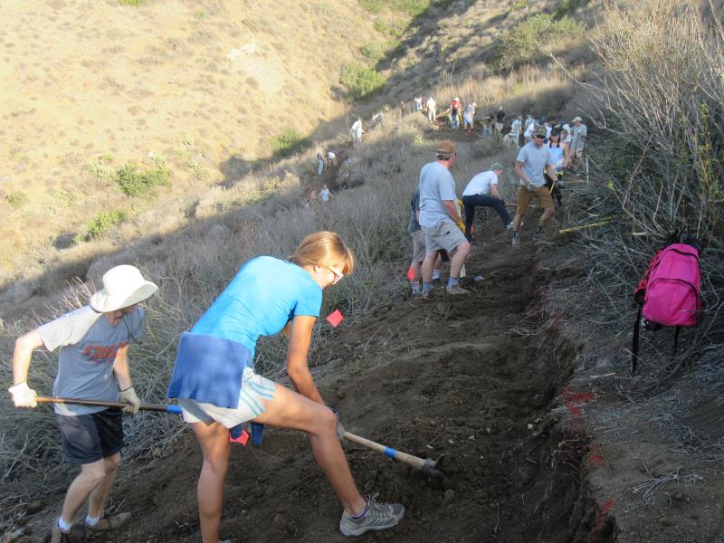
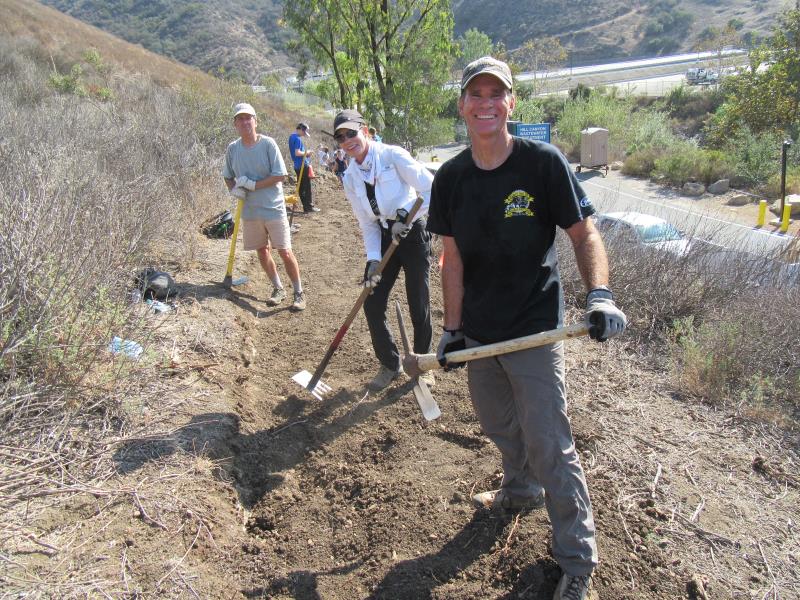
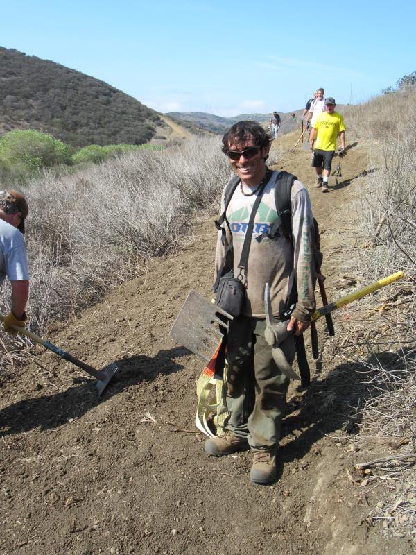
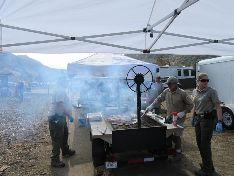
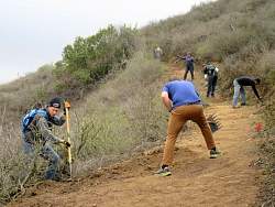
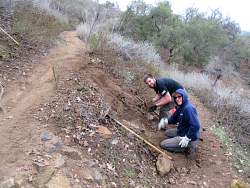
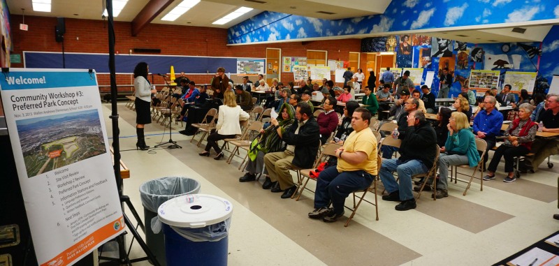
 At noon, following the morning of trail-building, workers will be treated to hamburgers / vegi-burgers, chips, fruit and drinks while enjoying the camaraderie of fellow trail enthusiasts!
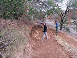
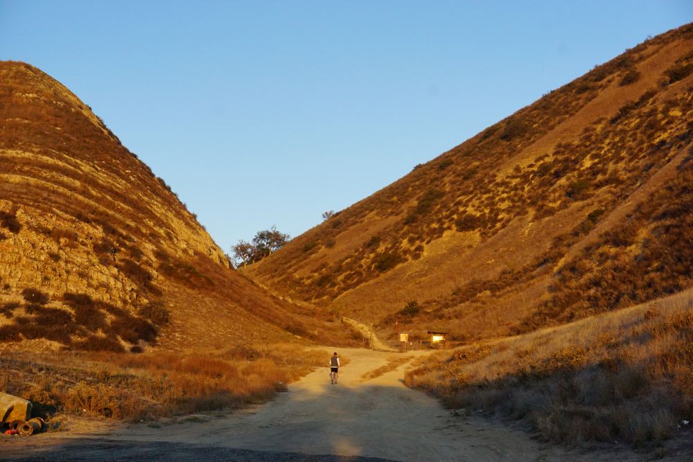
 Most trails in our local riding area don’t respond well to rain. They have a high content of clay that turns into sticky, slippery muck that binds to everything it touches. It builds up on the tires, like a snowball rolling downhill, until it jams on the frame and the wheels won’t budge. Some models of clipless pedals won’t let go when full of this mud, resulting in the bike and the attached rider lying sideways in a puddle, or worse.
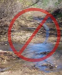
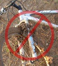 As a rule of thumb, if your foot, tire or hoof makes an impression more than about 1/8 inch deep in the dirt, the trail is still too soft to use. Give it another day or two to dry out before using it!
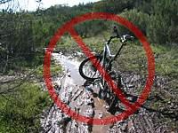 For these reasons, riders are well advised to stay off the trails after a rain until they have dried. How long to stay off? That depends on a number of factors including the particular trail, how much rain it received, how much sun it gets after the rain (is it in the shade or face south?), how warm and windy the weather is, and so on. After an isolated light rain you can probably ride the next day. After a heavy rain, you should wait several days. This is something where common sense and experience will help. Remember, tracks deeper than 1/8″ mean the trail is still too soft to use!