

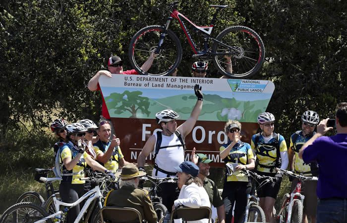
Three new national monuments
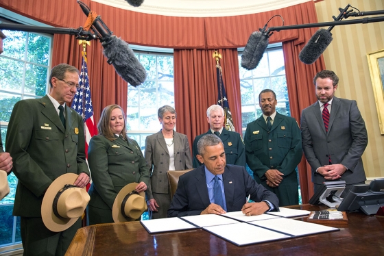
Yesterday, July 10, 2015, President Obama used his powers under the Antiquities act to declare three new National Monuments. There were another three declared in February 2015, and a further monument in December. That’s seven new National Monuments since we were given the San Gabriel Mountains National Monument on October 10, 2014.
Clearly, this President has been on a roll when it comes to land protections. All of these new National Monuments will face the similar challenges of developing management plans that protect the resources of the monuments, but also allows for recreation and enjoyment of those resources. Each has their unique characteristics and each proclamation is written specifically for each monument.
Of the most recently-declared monuments, one has no real biking opportunities. The Waco Mammoth National Monument was owned and operated as an archaeological dig site by the City of Waco, Texas. Under the new monument, the city of Waco will transfer the 108 acre site to the Federal Government, via the National Park Service, who will now coordinate with the City and with Baylor University to continue archaeological research and protect the site.
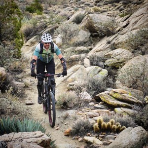
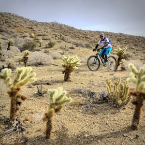
The other two, Berryessa Snow National Monument in northern California, and the Basin Range National Monument in Nevada, both include trails and mountain biking opportunities on a mix of Forest Service and BLM lands. In both proclamations, recreation opportunities are considered. The Berryessa Snow proclamation reads “…motorized and mechanized vehicle use in the monument shall be allowed only on roads and trails designated for such use, consistent with the care and management of the objects identified above.”
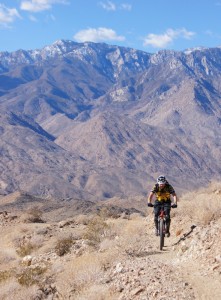
In the Basin Range, more than 700,000 acres of Nevada desert and mountain terrain, there are many trails. The proclamation similarly states that “…motorized vehicle use shall be permitted only on roads existing as of the date of the proclamation. Non-motorized mechanized vehicle use shall be permitted only on roads and trails designated for their use, consistent with the care and management of the objects identified above. The Secretary shall prepare a transportation plan that designates the roads and trails where motorized or non-motorized mechanized vehicle use will be permitted.”
In both of the above examples, just as in our own San Gabriel Mountains National Monument, mountain bikes will be permitted only on roads and trails authorized for their use. One difference between the two, however, is that the Basin Range proclamation also explicitly prohibits the development of new motorized vehicle routes. No such restriction is placed on non-motorized trails used for mountain bikes or “mechanized” travel, but the development of a transportation plan is where the details will be hammered out.
Similarly, our San Gabriel Mountains National Monument allows existing uses on existing trails, but also calls for the development of a transportation plan that will include trails, roads, and their respective use designations. Mountain bikers in all these areas should be thankful for the elevated protections these special places have now been given, but should also remain engaged as active trail advocates, trail stewards, and partners in the development of the management plans and transportation plans that will govern our future access to and enjoyment of these special landscapes and the trails by which we experience them.


San Gabriel Mountains National Monument Management Plan Comments
Tuesday, August 11th, 2015As members of the San Gabriel Mountains National Monument Community Collaborative, we have also signed the consensus comments submitted by the Collaborative group, which we helped develop.
These are an important milestone in the development of a management plan for our new National Monument. The Presidential Proclamation directed the Forest Service to develop a management plan within three years. Most management plans take longer than that to develop, but the Forest Service’s approach to amend the current plan should allow them to complete the plan within the alotted time frame. We were pleased that the Forest Service extended the current comment period to allow for more thoughtful comments.
We were in general agreement with most of the findings of the “Need to Change” analysis, which stated specifically that the existing Forest Plan guidance on Recreation Management did not need to change. However, the Proclamation calls for the development of a Transportation Plan, which could impact recreational trail management. Accordingly, we commented on the need to develop a transportation plan for the entire Forest, both to improve recreational opportunities and to protect the resources of the Forest.
It is now up to the Forest Service to take into consideration all of the comments submitted, and their own analysis to develop a draft Environmental Assessment and Monument Management Plan. We expect that draft to be available for public review in spring, 2016.
Until that time, we’ll continue to work with the Forest Service on project-level issues including trail maintenance and restoration, in accordance with our existing partnership and volunteer agreements.
Comment PDF: 2015-08-11 – CORBA and MWBA SGMNM Need to Change Comments
Tags:Management Planning, Public Comments, Trail Plan
Posted in Angeles National Forest, Environment, San Gabriel Mountains, San Gabriels National Monument, Trail Access | 1 Comment »