Archive for the ‘Trail Access’ Category

Sullivan Canyon Closure Update: 6/24/2019 – 8/2/2019

Wednesday, June 19th, 2019

Following our previous report we have received an updated from SoCalGas. Here are the new details:


Sullivan Canyon Temporary Closure:

6/24/2019 – 8/2/2019 Pipeline Exposure Remediation

-South side (Queensferry Entrance) will be open during construction

-The location of the exposure is on the map (approx. middle of the canyon)

-Project site will NOT allow hikers, bikers, and runners to pass.

-The maintenance crew will be using the North Entrance to access the site.

-Between the North Entrance and the project site, the canyon will be inaccessible. However, from the South Side (Queensferry Road) everyone will be able to access the canyon until the project site.

July 2019 Trail Fire Closures Update for the Santa Monica Mountains

Saturday, March 2nd, 2019

This article has been updated since it was originally posted on January 4th:

– January 12: The Mountains Recreation and Conservation Authority (MRCA) opened most of their open space areas

– March 2: The Backbone Trail between Kanan Road west to Yerba Buena Road has been opened.

– March 25: All COSCA trails in Thousand Oaks except the Hill Canyon Bridge are now open.

– April 30: The Backbone Trail fromYerba Buena Road west to the Mishe Mokwa trailhead is open

– July 18: The remaining sections of the Backbone Trail are now open, so the entire trail is open. (Note that not all of it is open to mountain biking, as always.)

South of the 101 Freeway, the Woolsey Fire completely decimated most of the open space between Las Virgenes/Malibu Canyon Road on the east and Point Mugu State Park (Sycamore Canyon) on the west. North of the 101, most of the open space south of Simi Valley and between Valley Circle on the east and Erbes Road to the west was destroyed.

With the recent rains, the regeneration process has begun and new growth can be seen on the burned hillsides.

Nevertheless, many of the trails are still closed until they are assessed for damage, and repaired as necessary. In addition, heavy rains my result in mudslides that may damage sections of the trail that survived the fire.

The good news is that many of the trails are now open to use. The bad news is that during the Federal Government partial shutdown, the National Park Service is not able to work on their trails, prolonging the time that they will be closed.

The following list is not exhaustive – there are many smaller trails not listed that may be open or closed. If you see that a trail is marked as closed or cordoned off, please stay off it.

Areas that are open

Areas that are still closed

For your own safety and to protect the plants and creatures that live in the open space, please stay off closed trails completely, and where the trails are open to use, please stay on the trails! Also, watch for new hazards on the trails such as large ruts, debris slides, washouts and fallen trees.

Santa Susana Mountains Trail Master Plan, Phase 2, Released

Monday, December 10th, 2018

Los Angeles County recently released the final Santa Susana Mountains Trail Master Plan, Phase 2.  CORBA and our friends a the Santa Clarita Valley Trail Users, as well as many local mountain bikers, hikers and equestrians, all gave input on the plan at a series of public meetings in 2016. The plan covers areas east of the I5 in Santa Clarita, including Towsley Canyon and other open spaces, some yet to be developed.

This is the third such trail master plan completed by the County in recent years. Previously, CORBA and SCVTU gave significant input on both the Castaic Area Trail Master Plan and the Santa Susana Mountains Trail Master Plan, Phase 1 and were happy to support both. We’re equally excited about the new plan. 

The plan reflects the comments the County heard from the public, what is feasible (or may be) under current zoning and land ownership, and what makes sense for current growth projections. The final plan has now been released. https://trails.lacounty.gov/Documents  It includes many elements about which we are particularly excited, including two potential bike skills park locations.  

CORBA’s SCVTU committee has submitted a letter of support for the plan, as has the CORBA Board of Directors. The L.A. County Board of Supervisors will vote to adopt this trail master plan as a component of the County General Plan on December 11, 2018. 

While we’re really encouraged by the plans, we realize that this is an aspirational document. It will be many years before being fully realized, if ever. The plan, if completed, would provide great connectivity, much improved recreational access to public lands. But realistically, it will take public support, partnerships and funding opportunities to see any of the plan complete.

CORBA, and our SCVTU Committee are ready and willing to help move elements of the trail master plan forward, such as the Bike Skills Park. 

The County will be moving forward with future trail master plans, which we’ll be sure to announce and advocate for more mountain biking opportunities and more trails for everyone. 

The Plan can be found among the County’s Trail Documents at https://trails.lacounty.gov/Files/Documents/137/SSMTMP-PII%20Final%20Trails%20Master%20Plan_December2018_web.pdf

Santa Clarita Valley Trail Users Letter of Support

CORBA Letter of support

______________________________________________________________________________

Update 12/11/2019, 11 a.m. The County Board of Supervisors today adopted the plan. 

Woolsey and Hill Fire Closures (Updated 12/21)

Tuesday, November 27th, 2018

This past week has been devastating. Our hearts go out to all those who were impacted by the Woolsey Fire and the Hill Fire, which have ravaged our local mountains. We know that a good portion of CORBA’s membership are in areas affected by the fire. A few lost homes and property. CORBA’s storage shed near Malibu Creek State Park survived, though we weren’t able to confirm so until after Thanksgiving. We truly appreciate the firefighters and first responders who put themselves at incredible risk to battle these fires and save as much as they could.

With so much loss, it may sound a little selfish to be concerned about trails. Being able to go for a mountain bike ride can brighten your day and bring a sense of normalcy to these tumultuous times. But with most of the Santa Monica Mountains National Recreation Area closed, where can we ride? We’ve provided a listing below, with links to each park’s web site for the latest updates. We’ll do our best to keep this information current.

Please respect trail and park closures. Our land management agencies have their hands full with fire recovery and damage assessments. Trails in burned areas can be extremely hazardous, even after the fire is “out.”  Fine particulate ash is a lung irritant and can cause severe health problems. Burned, weakened trees can fall at any time, especially in the early days after the fire, or as the ground softens with rain and no vegetation. Once our first big rains hit, trails will be heavily damaged and may become impassable. Just don’t ride closed trails.

As soon as we are able, CORBA will be scheduling trailwork events to help restore trails that will be heavily damaged this coming winter. It might be some time before we can do trailwork or ride. Watch our meetup group or Facebook page for upcoming trailwork events in the new year.

OPEN Areas (Updated Dec 21, 2018):

CLOSED Mountains Recreation and Conservation Authority (Facebook PageTwitter

CLOSED California State Parks (FacebookTwitter):

  • Malibu Creek State Park – closed until further notice due to the Woolsey Fire. State Parks lost some structures, such as employee residences, the historic Sepulveda Adobe, Red House, Hope Ranch also known as the White Oak Barn (including historic Adamson rowboats) and Reagan Ranch. – Update 12/21: Malibu Creek State Park is now open. Campgrounds are closed, but trails are open. Please stay on the trails!


CLOSED Conejo Open Space Areas:

CLOSED Santa Monica Mountains National Recreation Area (FacebookTwitter):

CLOSED Roads:

Last updated: Nov 26, 2018.

Sapwi Trails and Bike Park opens on Sept 22!

Thursday, September 6th, 2018

The ribbon cutting ceremony for Sapwi Trails Community Park in Thousand Oaks will take place on Saturday, Sept 22, 2018 at 9:00 am. The celebration will continue until noon. For updates on this event, visit the Thousand Oaks Sapwi Trails web page.

The volunteers, in coordination with Bellfree Contractors (a trail building company), have been hard at work getting the bike park ready for use. The pump track is shaping up really nicely!

For updates on the bike park, visit the Sapwi Bike Park website.

Take the National State of Mountain Biking Survey

Monday, August 20th, 2018

This is an opportunity to provide concrete data on the State of Mountain biking in 2018 across the U.S.  IMBA and the Ohio University are working with the SRAM Cycling Fund to survey a large cross-section of mountain bikers. 

It also provides us an opportunity to show our feelings about bicycles in Wilderness. Several questions in the 10 minute or so survey ask about wilderness access. Our research shows that the vast majority of our members and supporters agree with CORBA’s position that mountain biking should be allowed on some wilderness trails, and those access decisions (and restrictions) should be made locally. We agree with the STC on this. Other topics covered include spending habits, mountain bike related travel, bike ownership, and electric mountain bikes. 

The survey can be taken here at Ohio University or read more about it from IMBA. All answers are anonymous, and you’ll be in the running to win a SRAM Eagle GX groupset (when you provide email on a different site after completing the survery). It’s an especially valuable opportunity

Take the survey!

Caution: SoCalGas Working in Sullivan Canyon through May

Friday, May 18th, 2018

Sullivan Canyon, Photo by Bryan Gordon

Please use caution riding or hiking Sullivan Canyon through the end of May. 

Since 1960, Southern California Gas Company (“SoCaIGas”) has owned much of the land that comprises Sullivan Canyon (more than 4 miles in length).  It’s a popular area for mountain bikers, runners and hikers, and we all appreciate being able to use the area for recreation.

SoCalGas is planning to conduct yearly maintenance activities trimming overgrown vegetation in Sullivan Canyon, starting next Wednesday, May 23rd.  The work should not take longer than 8 days. Work hours are 7 AM to 2 PM.

There will be Bio-monitors on site with the workers. A “Bird Survey” assessment will be performed prior to starting the work.  SoCalGas has a current programmatic permit in place to cover this environmental work.

All trails will remain open to pedestrians and bikers, but please use caution. Watch for changed conditions, workers and equipment. They will have 2 people dedicated to trail user safety. They are there to help keep the area open for the week the work is conducted, so please follow their direction.


2018 Angeles National Forest Trail Stewardship Summit Report

Tuesday, April 10th, 2018

This past weekend we had an amazing four days at the 2018 Angeles National Forest Trail Stewardship Summit. In the days prior to the summit, we showed some of our trails, our previous trailwork, and our current Gabrielino trail restoration project to Regional forest service staff, and trail construction experts.

The Angeles National Forest was selected as one of fifteen priority sites for trail maintenance under the National Forest Trail Stewardship Act of 2016. As a priority site, the goal is to double the number of trail miles maintained on the Angeles.

We held a series of discussions with Forest Service Region 5 about our trail system and Station Fire recovery efforts. CORBA has received $35,000 in grants from REI and Southern California Edison, for the Gabrielino Trail restoration. CORBA and MWBA’s awesome volunteers have contributed over 2500 hours of volunteer labor at a value of over $56,000.

Some great news has come out of the summit. Using the above contributions as a match, the regional office of the Forest Service has allocated $100,000 to restore and improve the Gabrielino National Recreation Trail. We’re in the process of writing up a formal cost-share partnership agreement with the Forest Service to manage that investment into our local trails.

At the summit, partners, volunteers and Forest Service staff brainstormed on how to remove bottlenecks to getting things done. We discussed how to make it easier for volunteers to do the necessary paperwork by moving to an online system, minimizing shuffling paper and lengthy email chains. We talked about how to get better information on trails and their conditions for the public, as well as how to better coordinate efforts between volunteer groups. Good things are in the works and potential solutions to both of these shortfalls are being explored right now.

CORBA President Steve Messer spoke about the San Gabriel Mountains Community Collaborative (video here), and on how volunteers and NGO’s like  CORBA and MWBA, and the partnerships we have with the Forest Service are a vital component of sustainability of our trails (video here).  Other presentations from LA County, Equestrian trail patroller, Jim Lesh, IMBA Trail Solutions, MWBA, and regional Forest Service Trails Coordinator Garrett Villanueva helped guide the breakout sessions exploring how to achieve some of these goals.

We then spent two days learning about and refining our trail maintenance skills on Sunset Ridge Trail, where volunteers and trail crew leaders learned updated techniques to managing water on trails, minimizing erosion, and decreasing future maintenance needs. We learned from some of the most knowledgeable trailbuilders from IMBA Trail Solutions and the Forest Service. Sunset Ridge trail received some treatments to help improve water control.

It was an extremely positive summit with lots of productive exchange and a path to move forward. We thank the Forest Service and their Regional staff, IMBA Trail Solutions, MWBA, the National Forest Foundation, and all the other volunteers and partners from around the region who participated.


Trailbuilding Workshop – Save the Date: April 6-8, 2018

Thursday, March 1st, 2018


Learn how to build and maintain trails

The Forest Service, in partnership with CORBA, the Mount Wilson Bicycling Association, IMBA, and the National Forest Foundation will hold a three-day trail workshop.

The agenda is still being finalized, and official invitations and announcements will go out in the coming week, but you can save the dates of April 6, 7 and 8, April 2018. Details will be included with the Forest Service official announcement.


Friday, April 6, will be an all-day classroom session at the Altadena Community Center. This day will cover the assessment, management and planning of trails, and will be of most use to those advocating for trails, planning to build trails or land and trail managers.

Saturday April 7 will see a morning classroom session, followed by Saturday afternoon in the field, then a full day of hands-on on Sunday April 8.

There is no charge for the workshop and lunch will be provided. If you’d like to attend contact us and we’ll let you know when registration opens.

Santa Susana Mountains Trails Master Plan Draft Released

Thursday, November 2nd, 2017

The Draft Santa Susana Mountains Trails Master Plan and Initial Study/Proposed Mitigated Negative Declaration are available for public review beginning today (November 2, 2017) at http://www. santasusanatrailsplan.org/

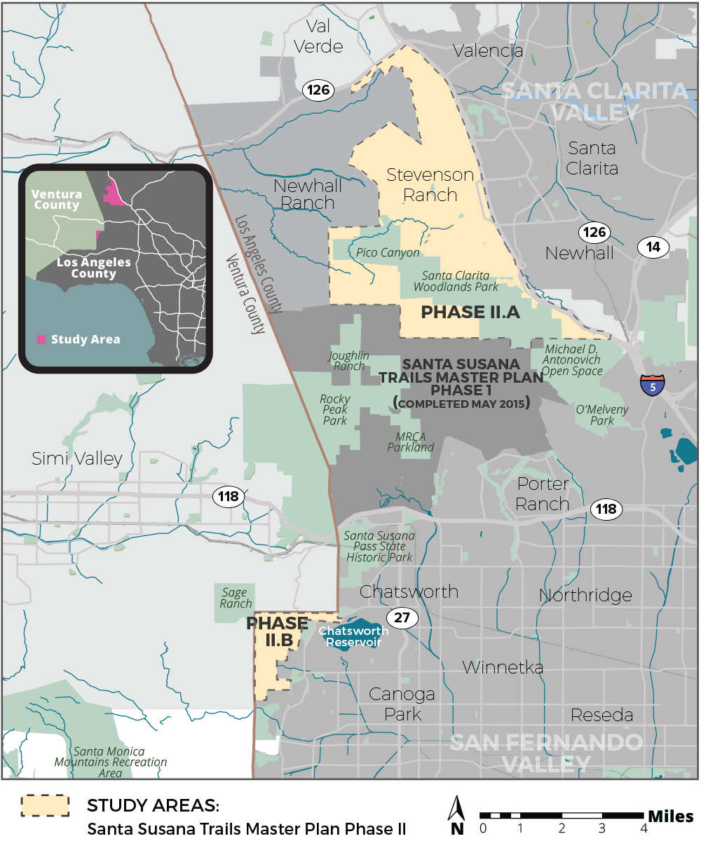
Project Location: The SSMTMP-PII area encompasses approximately 24 square miles in the unincorporated territory of the northwestern portion of the County of Los Angeles, immediately east of the boundary with Ventura County, located entirely within the 5th Supervisorial District. The SSMTMP-PII area is comprised of an approximately 22-square-mile area located in the north-facing slopes of the Santa Susana Mountains and the Santa Clarita Valley (Phase II.a) and an approximately 2-square-mile area located in the foothills of the Santa Monica Mountains, including Bell Canyon, Dayton Canyon, and Woolsey Canyon, west of the San Fernando Valley (Phase II.b). The Phase II.a area is composed of generally mountainous and valley terrain that abuts Henry Mayo Drive (State Route [SR] 126) to the north, the Interstate-5 freeway to the east, the southern edge of the Santa Clarita Valley Area Plan area to the south, and the Newhall Ranch Specific Plan Area to the west. Similarly, Phase II.b area, is composed of generally mountainous and valley terrain that abuts Ventura County to the north and west and the City of Los Angeles to the east and south.

Project Description:

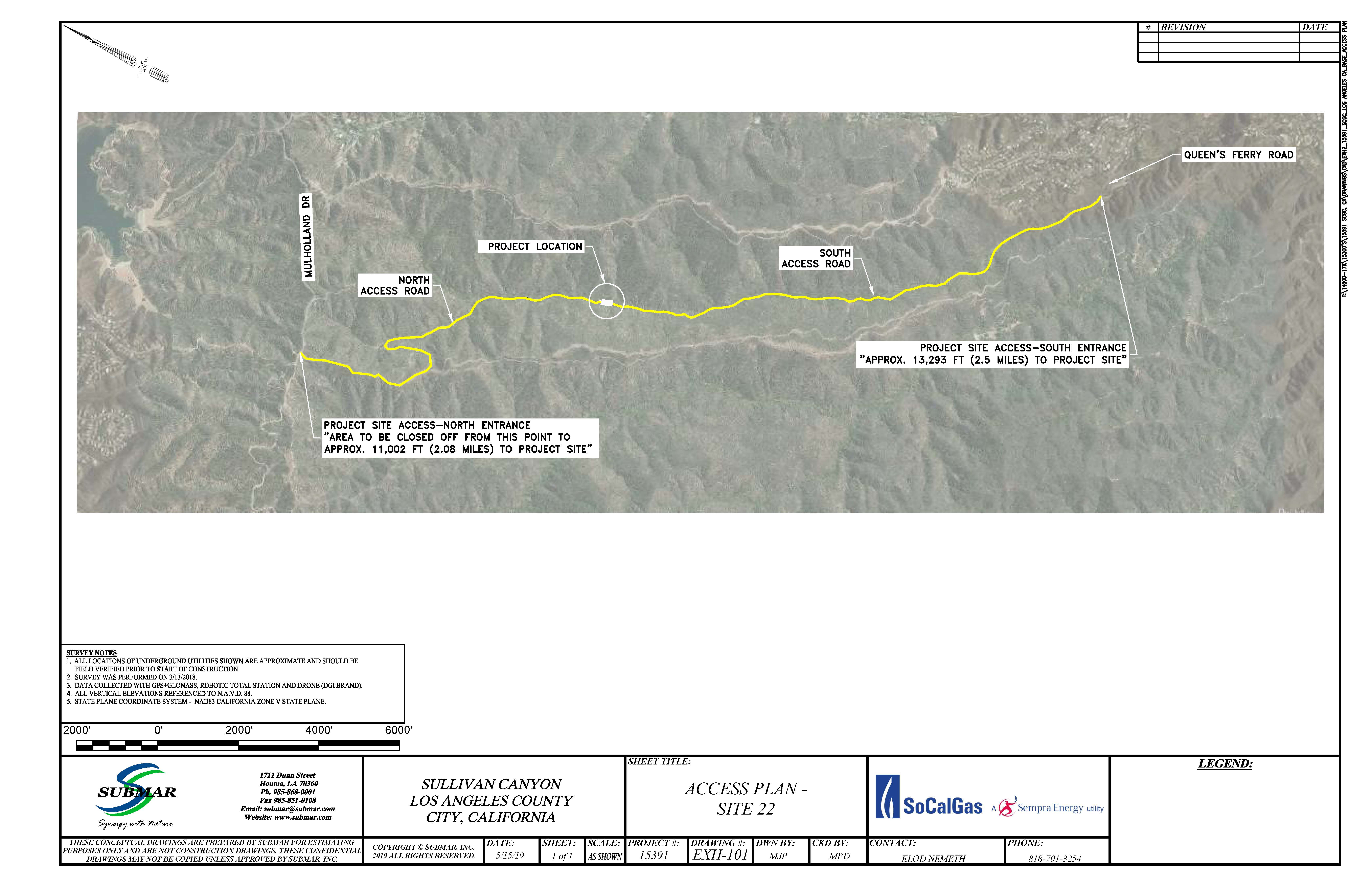
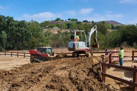
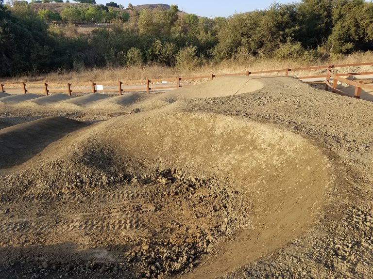
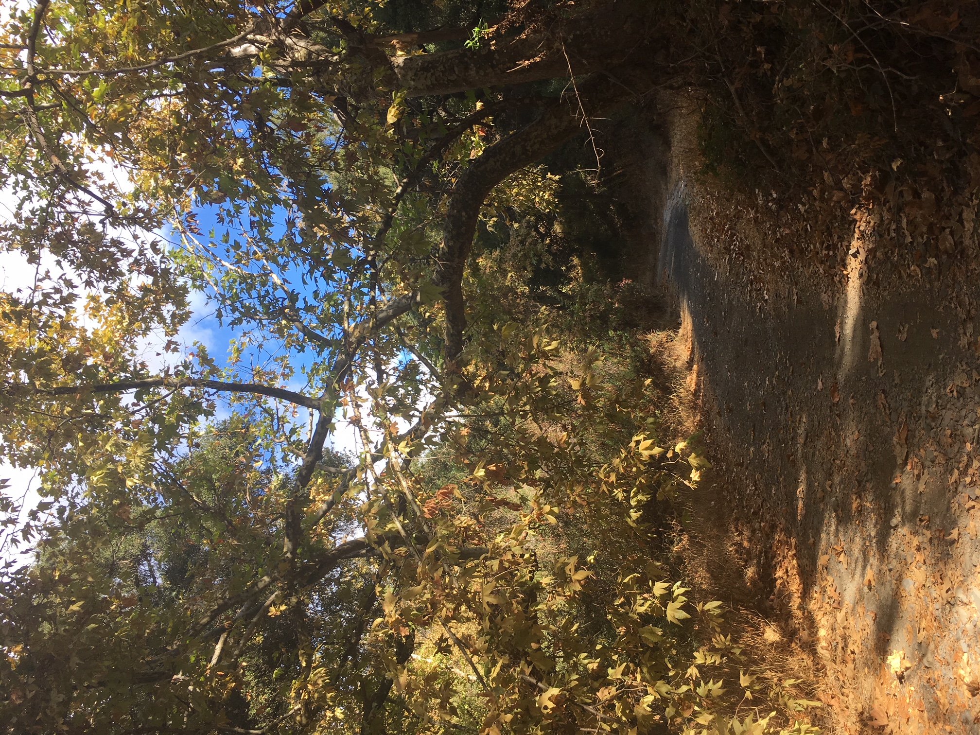
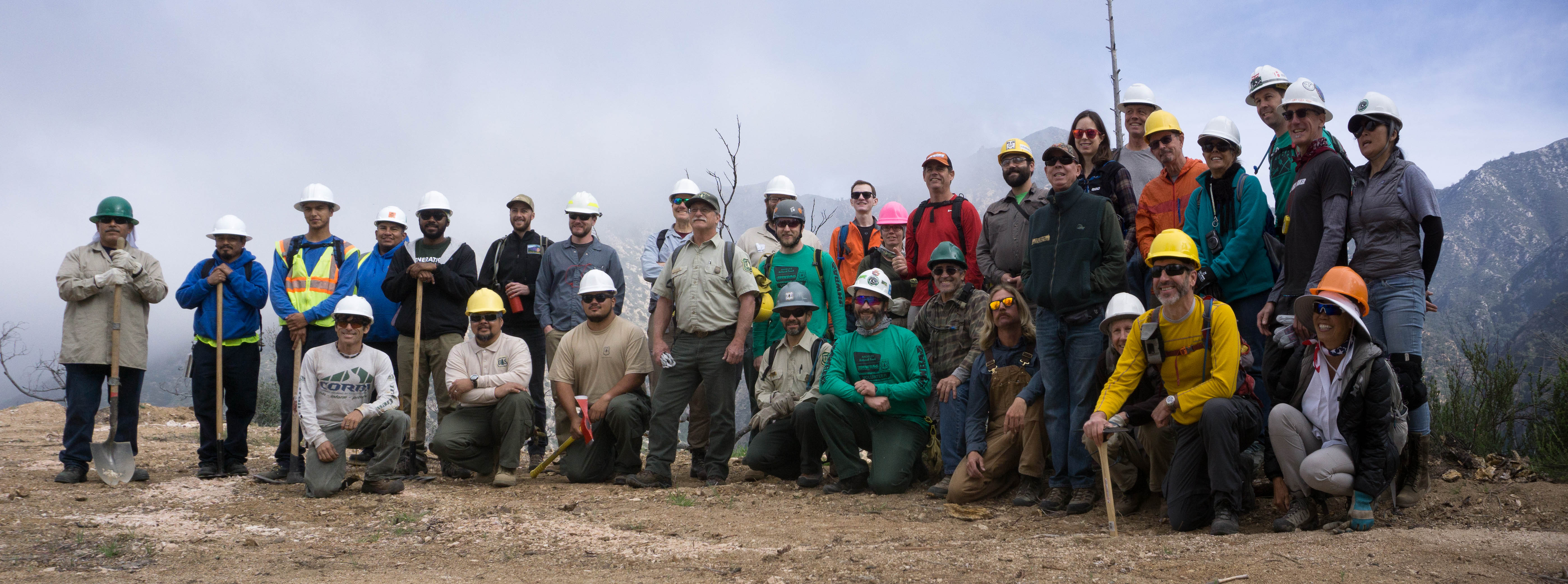
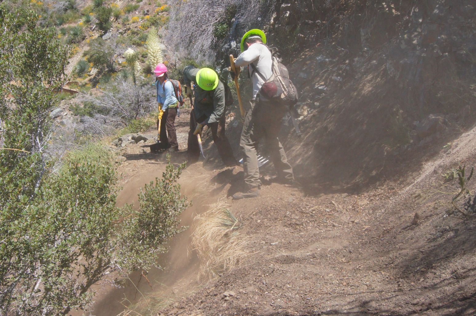
The proposed project includes approximately 70 miles of proposed multi-use (hiking, mountain biking, equestrian) trails and related staging areas, bike skills parks, parking areas, and other supporting trail facilities in the Santa Clarita Valley Planning Area and San Fernando Valley Planning Area. The proposed trails would provide connections to parks and open spaces, a large commercial district, seven schools, numerous natural features, Six Flags Magic Mountain theme park, the proposed Rim of the Valley trail corridor alignment (RIVA), and existing trails in the Cities of Los Angeles and Santa Clarita, and in the Newhall Ranch Specific Plan area, as well as trails within other jurisdictions as identified in the Trails Master Plan. The trails would be multi-use and range from 3 to 12 feet wide based on site conditions, with adequate space for combined pedestrian, equestrian, and mountain biking use, in accordance with the County of Los Angeles Trails Manual guidelines (County Trails Manual). The proposed project would develop a complete multi-use trail system connecting user groups and local populations to desired recreation destinations and experiences, with unified transition to the trails of adjacent jurisdictions, compatibility with adjacent land uses and environmental resources, and incorporate a sustainable design consistent with the County Trails Manual. The plan would recommend conditions for improvement of unmet local recreation demands in the County’s Fifth Supervisorial District.

Comments

Written comments will be accepted via email or at the following street address:

County of Los Angeles Department of Parks and Recreation
Planning Division
Attn: Julie Yom, Park Planner
510 South Vermont Avenue, Los Angeles, California 90020
Email: jyom@parks.lacounty.gov

The public comment period will end on Saturday, December 16, 2017.

All comments must be postmarked or emailed no later than December 16, 2017.
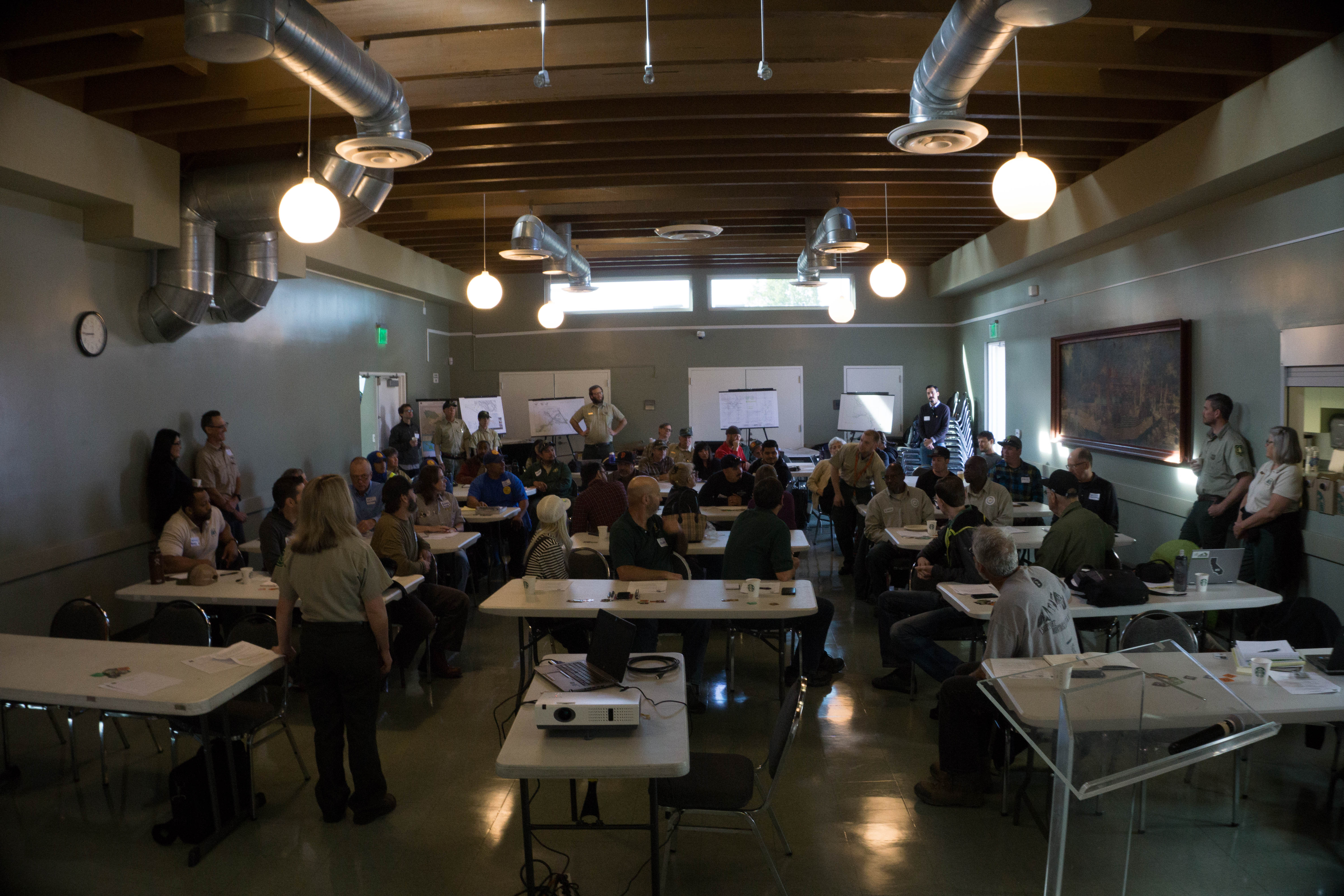
COMMUNITY MEETINGS:

On Thursday, November 9, 2017, the County will host a community meeting to review the project and solicit information in relation to the CEQA analysis for this project.

The meeting will be held from 6:00–8:00 pm at Stevenson Ranch Library, 25950 The Old Road, Stevenson Ranch, CA 91381.

On Thursday, November 16, 2017, the County will host a community meeting to review the project and solicit information in relation to the CEQA analysis for this project.

The meeting will be held from 6:00–8:00 pm at Chatsworth Branch Library, 21052 Devonshire Street, Chatsworth, CA 91311.

Please direct any questions regarding these meetings to Zachary Likins at (213) 351-5149 or zlikins@parks.lacounty.gov.