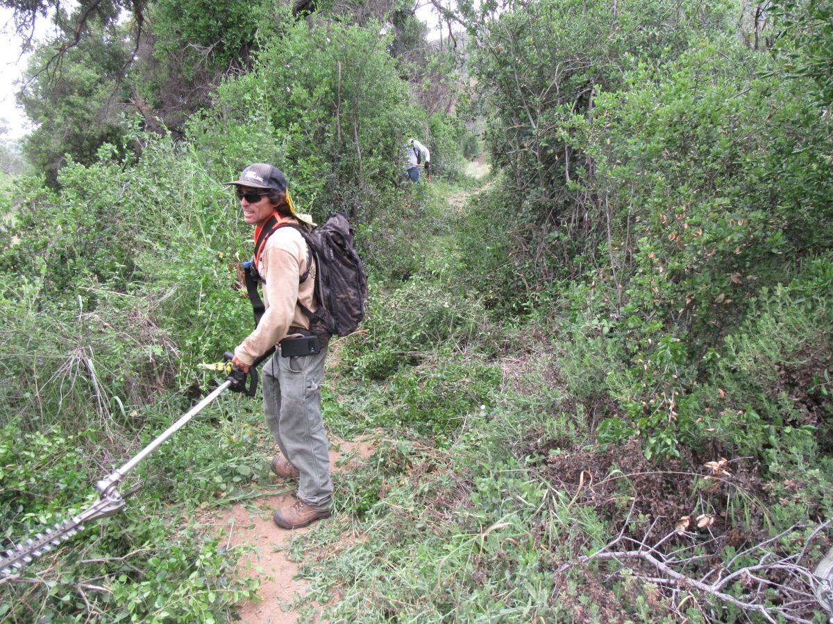
 As a trail enthusiast, we hope you’ll be able to help us out during our fall trail work program! We have four events scheduled between now and the new year. At all these events, lunch will be provided to volunteers as a way to thank you for helping!
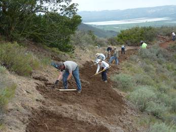
The first event is the Annual Fall Conejo Open Space Trail Work Day, taking place on Saturday October 19th at 7:30 pm. In years past we’ve had turnouts of over 150 people to this event, but recently the numbers have been dwindling. We hope you’ll be able to help us have a really good turnout so we can get lots of trails fixed up!
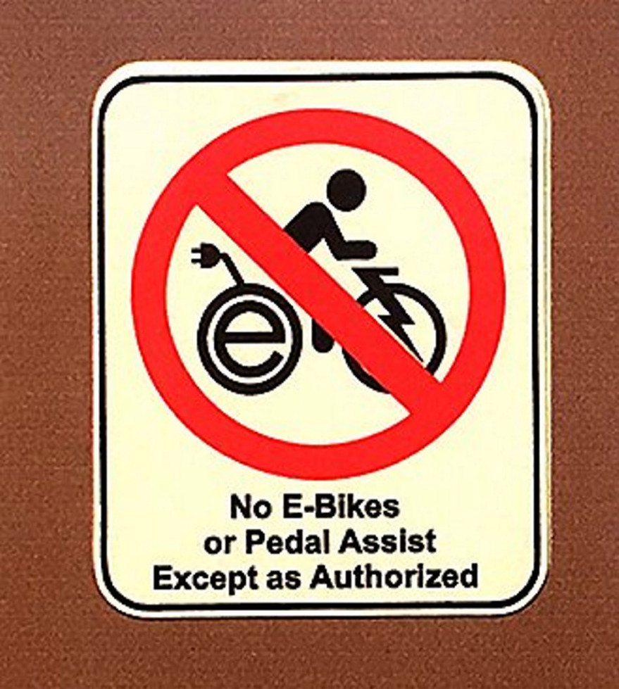
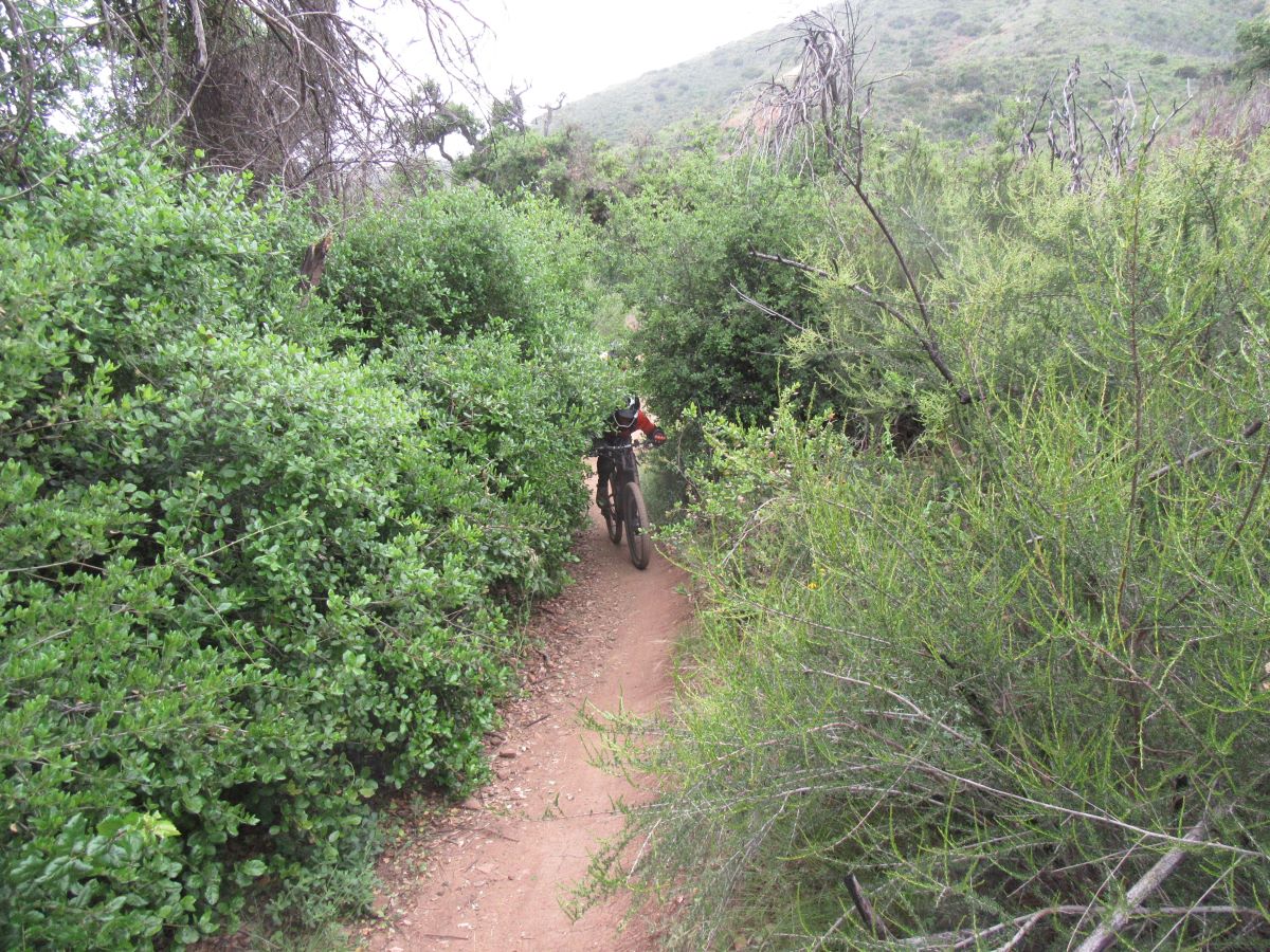
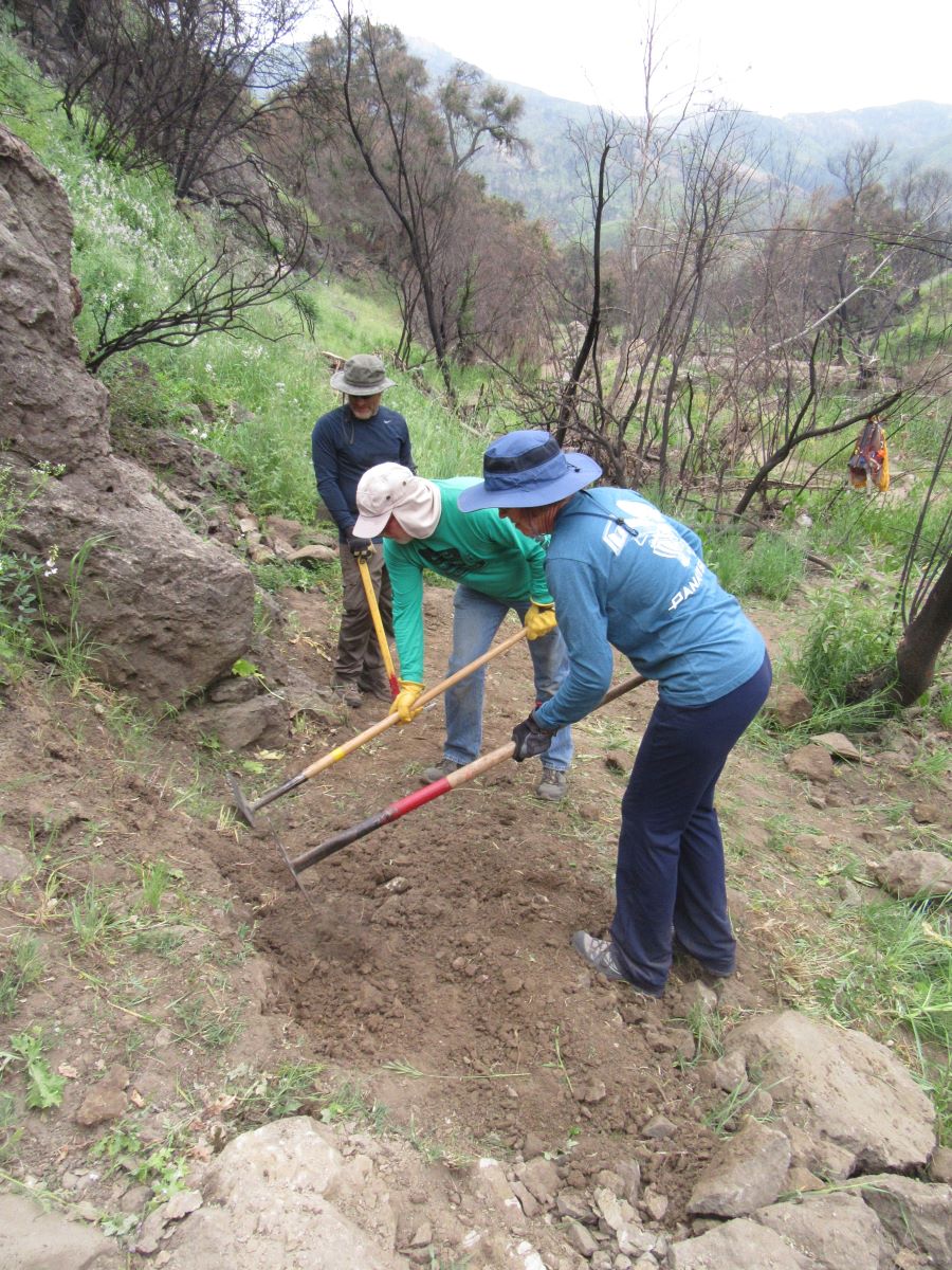
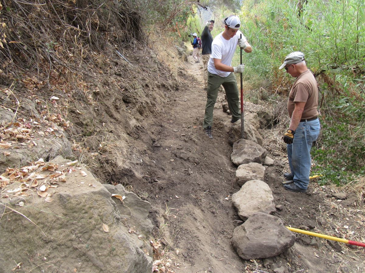
This year we’ll be fixing up trails damaged in the Hill Fire last November and then by the heavy winter rains.
Please help us plan for the the amount of trails we can fix up and prepare for the coming winter rain by signing up in advance online at https://cosf.org/events/register/ . And you can find more details here https://www.meetup.com/CORBAmtb/events/265216169/
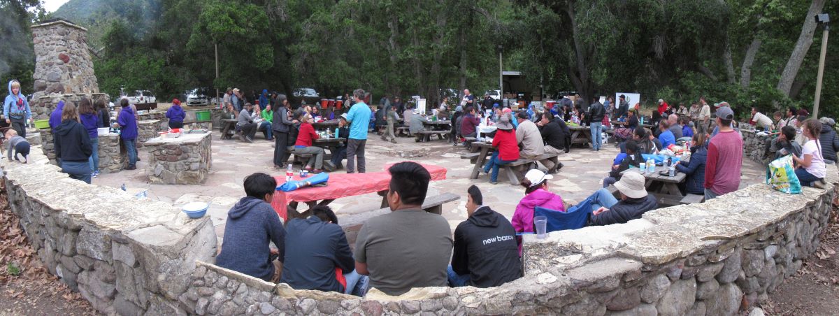
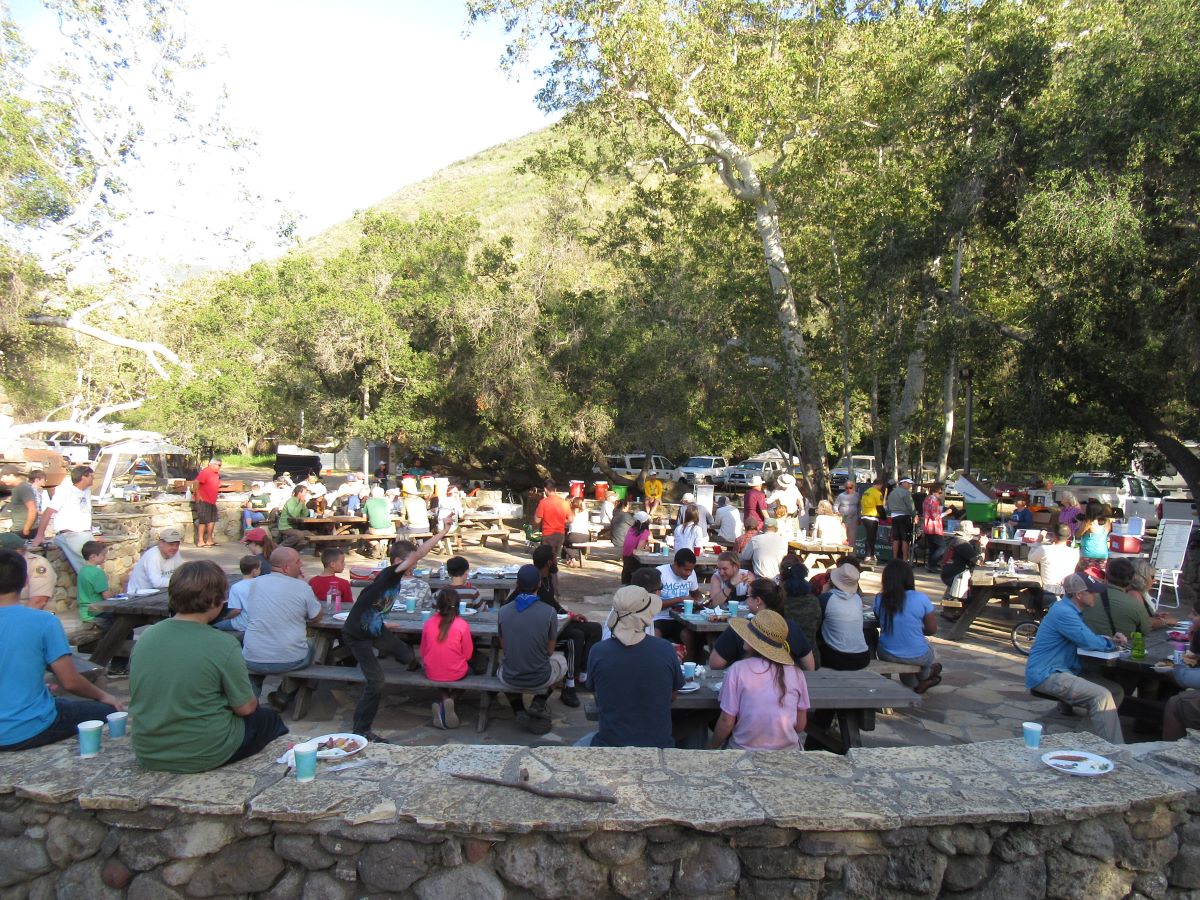
Remember, at noon the volunteers will be treated to a lunch and prize-giveaway!
Subsequent work days will be on
- Saturday November 9 to work on the Sage Trail in Point Mugu State Park (Sycamore Canyon). Details and sign-up https://www.meetup.com/CORBAmtb/events/265316236/
- Saturday November 16 to work on the Backbone Trail along the Encinal Canyon / Mishe Mokwa segment. Details and sign up https://www.meetup.com/CORBAmtb/events/265218539/
- Saturday December 14, we’ll have a special work day with Girlz Gone Riding (GGR) on the Rogers Road section of the Backbone Trail. Details and sign up https://www.meetup.com/CORBAmtb/events/265219027/
We hope you’ll be able to join us for one or more of these work days. It’s only through volunteer help that we can repair trails from fire and rain damage to keep them in great shape for riding!