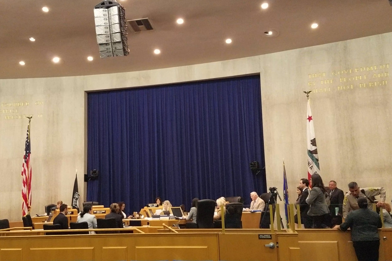
Park and Rec Staff give their report
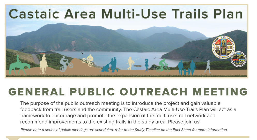
October 25, 2016 was a great day for trails, open space and bike parks in Los Angeles County. Some time ago, we learned that the Puente Hills Landfill Park Master Plan would be on today’s County Board of Supervisors agenda. Last week, we were notified that the Castaic Multiuse Trail Master Plan would be on the same agenda.
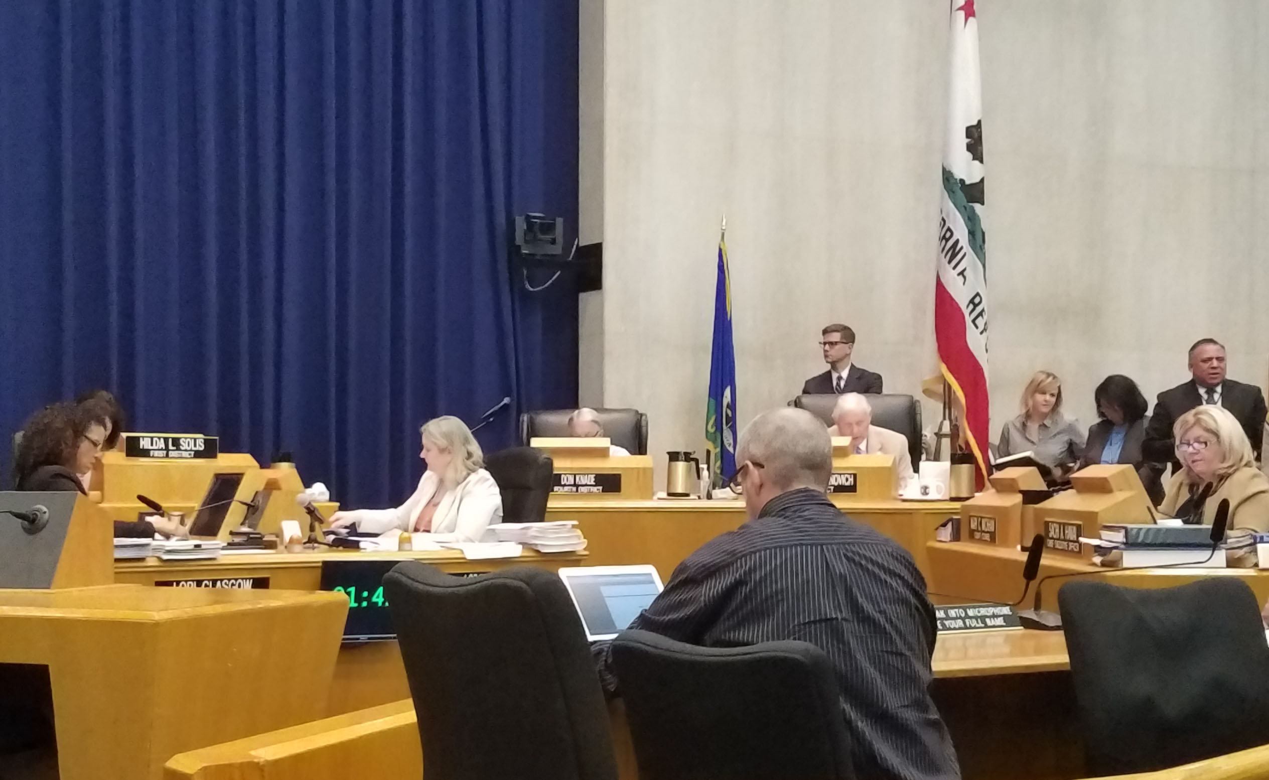
Kevin from SCV Trail Users speaks to support the Castaic plan.
Both these plans include Bike Skills Parks, as proposed by CORBA to the County in 2011. It’s been a long process with much input from local residents, trail users, mountain bikers and environmental and social justice organizations. With these bike skills parks appearing on their respective master plans, which will be incorporated into the County General Plan, we have confirmed a future Los Angeles that will include bike skills parks.
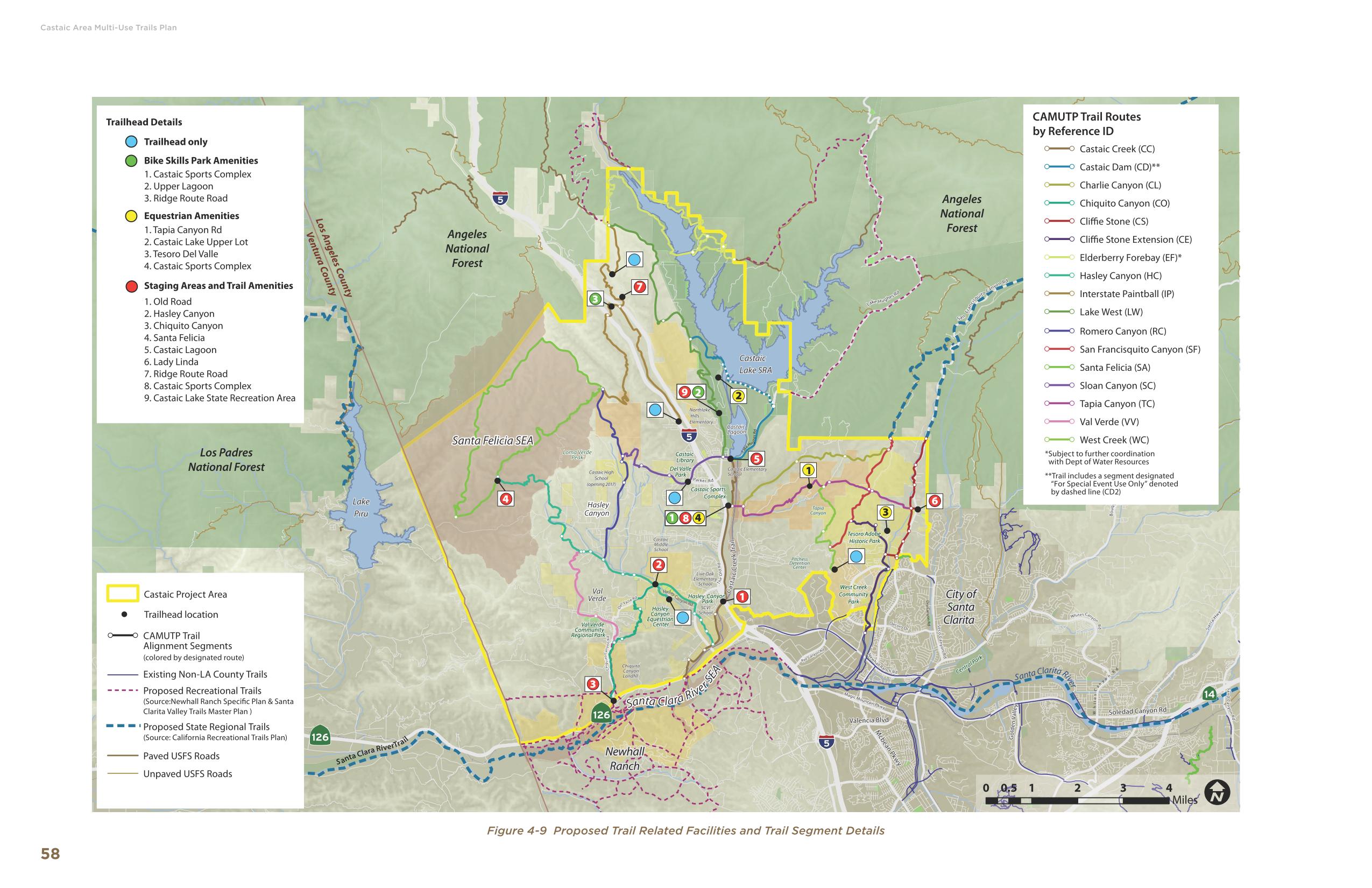
The Puente Hills plan includes two bike skills area, one in Phase One, and a second in Phase two. The Castaic plan identifies three potential bike skills park sites. The plans do not include specific bike park designs. These designs will take some time, and much community involvement. The onus will be on us, the mountain biking community, to follow through and remain engaged in the design process, and ultimately, to help raise funds and build these facilities.
These planning documents are intended to guide long-term development over multiple decades, as funding and other opportunities become available. Fully realized, they will provide many miles of multi-use trails, trailhead staging areas, and other amenities. The Puente Hills plan includes multiple recreational amenities, including public performance spaces, a zip line, bike skills park, dog park, and balances that with habitat restoration and native landscaping. There is something for everyone.
Four of us spoke in favor of the Castaic plan, including CORBA, the SoCal High School Cycling League and SCV Trail Users, while one local resident expressed concerns that a proposed trail in the plan traverses her property. Supvervisor Antonovich asked the park planning staff how the plan addresses and protects private property rights and received assurances that easements or property acquisitions will only take place from willing sellers.
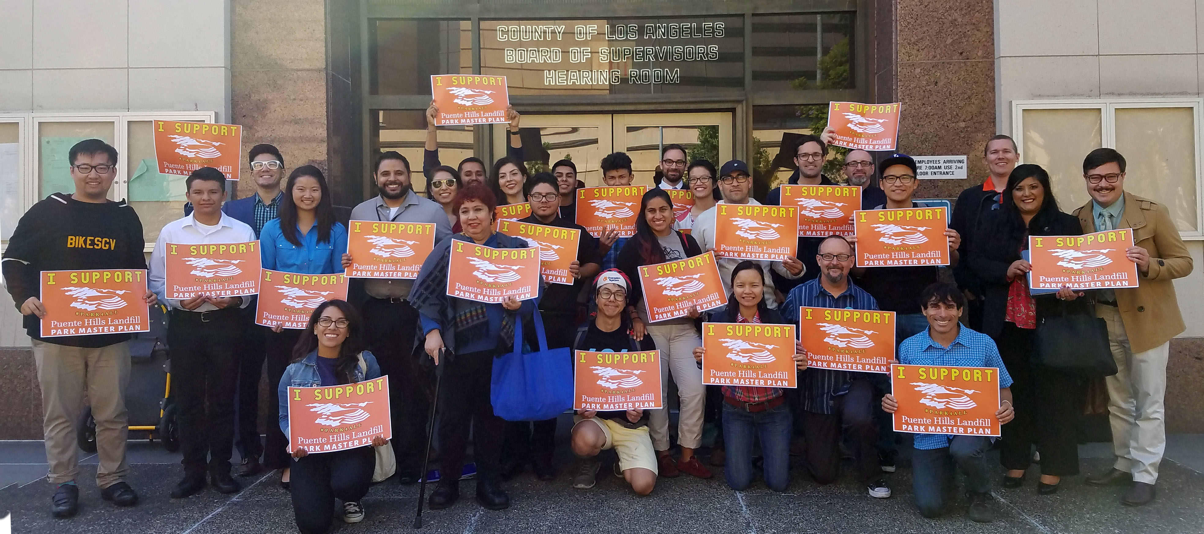
Over 30 people came to speak on the Puente Hills plan, rallied by our friends at Bike SGV, the San Gabriel Mountains Forever coalition, Los Angeles County Bicycle Coalition and CORBA. It was obvious to the County that there is tremendous community support for the plan, so it wasn’t necessary for all 30 to speak. Wes Reutman from Bike SGV, spoke on behalf of the group. Support also came from the Wilderness Society and the Trust for Public Land.
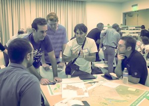
We want to express our sincere thanks to both the County Department of Parks and Recreation, and the County Supervisors for supporting the development of these plans. We also extend our appreciation to Alta Planning for their great work on engaging the Santa Clarita Valley community in the development of the Castaic Plan, and Withers & Sandgren Landscape Architecture firm who were enlisted as the prime consultant on the Puente Hills plan. Both the Castaic and Puente Hills planning processes typified the type of extensive community outreach and engagement that are necessary to develop viable community-driven plans that reflect the desires and address the concerns of the community and trail and park users.
Of special note is the long-standing support for trails and open spaces exhibited by Supervisor Antonovich, who will term out at the end of this year. His legacy includes the Santa Susana Trails Master Plan, and the Castaic Multiuse Trail Master Plan. As an equestrian and a champion of multi-use trails, Supervisor Antonovich has arguable had a greater impact on trails in Los Angeles County than any other single elected official in the area. In fact, 30 years ago, I served as assistant race director of the Olive View Challenge, a running, cycling, mountain biking and BMX event raising funds for Olive View hospital. Supervisor Antonovich was an ardent supporter of our nacent mountain biking race then (the first ever sanctioned mountain bike race on County and National Forest lands). He’s been a champion of trails since, and throughout his career in County government.
While a great step forward, there is still a lot of work to be done before we’ll be shaping dirt into pump tracks, jumps, and skills features at either Castaic or Puente Hills. We hope to begin the design phase for Castaic as early as next year. Puente Hills needs a few more years for the landfill to settle, and phase one will likely begin in late 2017 through 2019.
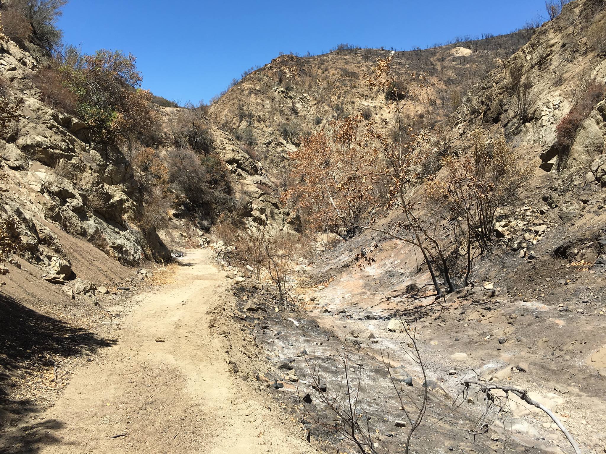
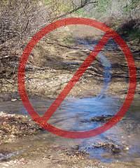 Most trails in our local riding area don’t respond well to rain. They have a high content of clay that turns into sticky, slippery muck that binds to everything it touches. It builds up on the tires, like a snowball rolling downhill, until it jams on the frame and the wheels won’t budge. Some models of clipless pedals won’t let go when full of this mud, resulting in the bike and the attached rider lying sideways in a puddle, or worse.
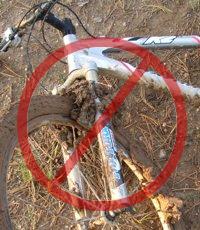 As a rule of thumb, if your foot, tire or hoof makes an impression more than about 1/8 inch deep in the dirt, the trail is still too soft to use. Give it another day or two to dry out before using it!
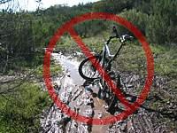 For these reasons, riders are well advised to stay off the trails after a rain until they have dried. How long to stay off? That depends on a number of factors including the particular trail, how much rain it received, how much sun it gets after the rain (is it in the shade or face south?), how warm and windy the weather is, and so on. After an isolated light rain you can probably ride the next day. After a heavy rain, you should wait several days. This is something where common sense and experience will help. Remember, tracks deeper than 1/8″ mean the trail is still too soft to use!
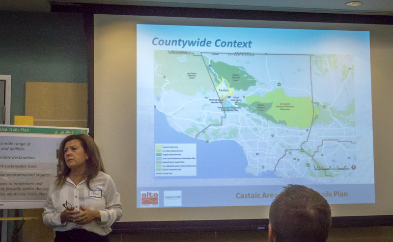
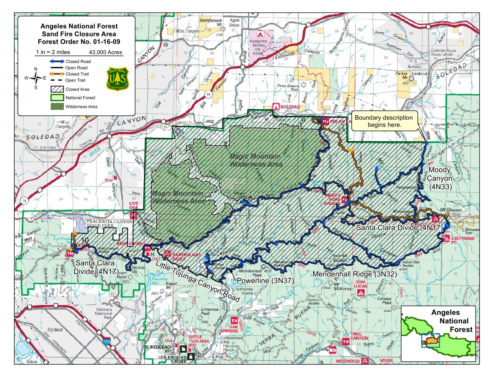
 Some important issues came up, such as the preservation of iconic and unique trails in the Tapia Canyon area, access to Forest Service and Tapia Canyon blocked by the Tesoro development, and potential impacts of the Hidden Ranch at Tapia Canyon Development. It is these and other development proposals that have prompted the County to take on this important planning task. There are more people coming to the Castaic area, more homes, more business, more kids on bikes and more demand for recreational trails.